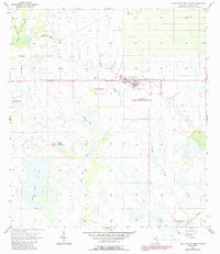
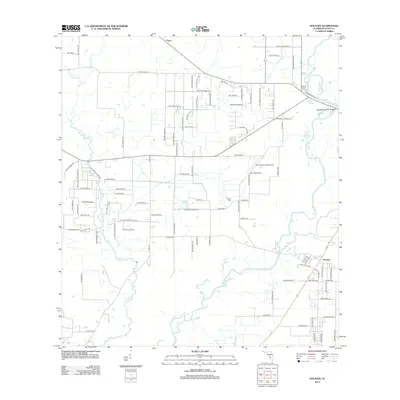
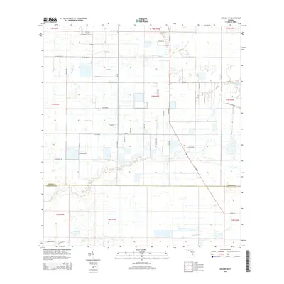
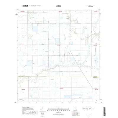
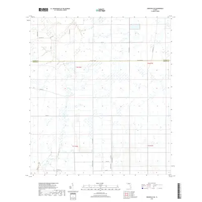
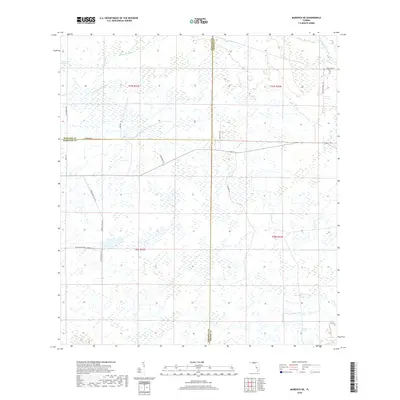
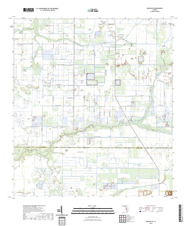
1956 Map of Arcadia SE
USGS Topo · Published 1971About this map
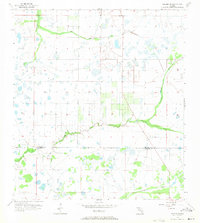
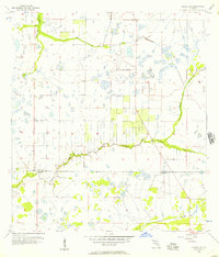
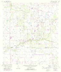
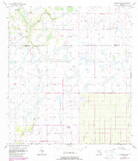
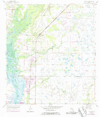
Prairie Creek meanders across the southern portion of this landscape, marking the transition between the rural expanses of DeSoto and Charlotte counties. Surveyed in the mid-1950s, the terrain is defined by a complex network of wetlands and seasonal drainages characteristic of south-central Florida. To the north, the waters of Hawthorne Creek and the marshy basin of Hog Bay feed into the regional hydrology, while the elongated Myrtle Slough cuts through the southeastern corner. This area serves as a study in mid-century land use, showing a sparse infrastructure of unimproved roads and sectional boundaries that delineate large tracts of undeveloped territory before modern drainage and development altered the natural flow of these creeks.
Find a feature on this map
5 named features on this map. Tap any name to fly to it.
Don’t see what you’re looking for? This feature index may not catch every label — zoom into the map to look around manually.
Map Details
Editions of this 1956 Arcadia SE Map
3 editions found
Historical Maps of Charlotte County Through Time
42 maps found
1956 Arcadia SE
DeSoto County, FL
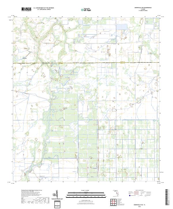
1956 Crewsville SW
DeSoto County, FL
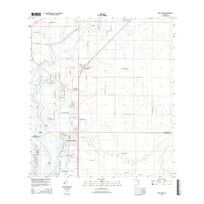
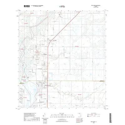
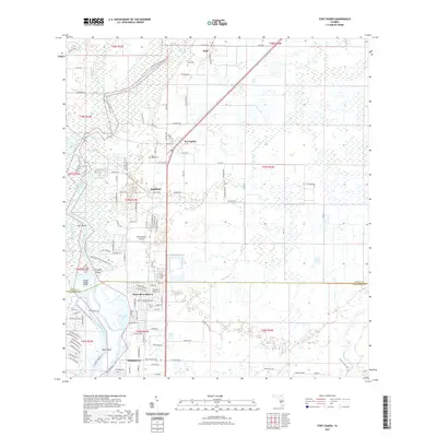
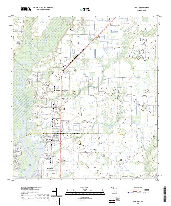
1956 Ft. Ogden
DeSoto County, FL
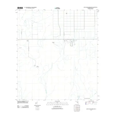
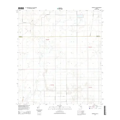
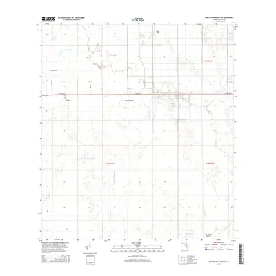
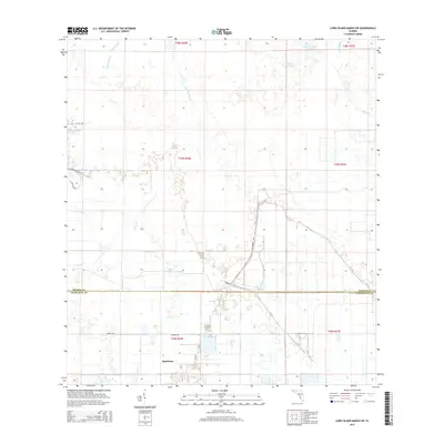
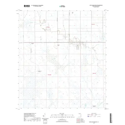
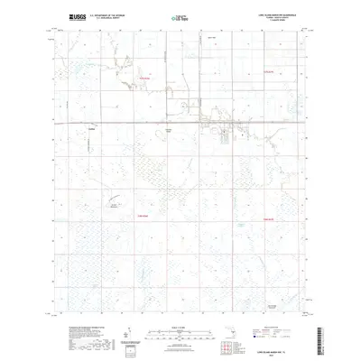
1956 Long Island Marsh SW
DeSoto County, FL
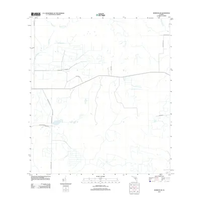
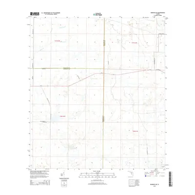
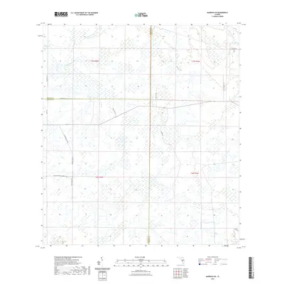
1956 Murdock NE
DeSoto County, FL
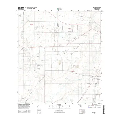
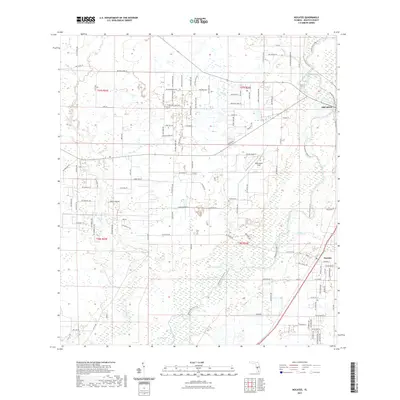
1956 Nocatee
DeSoto County, FL
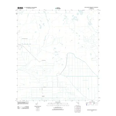
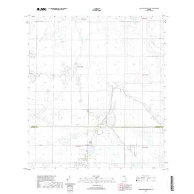
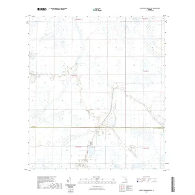
1957 Long Island Marsh NW
DeSoto County, FL
2012 Arcadia SE
DeSoto County, FL
2012 Crewsville SW
DeSoto County, FL
2012 Fort Ogden
DeSoto County, FL
2012 Long Island Marsh NW
DeSoto County, FL
2012 Long Island Marsh SW
DeSoto County, FL
2012 Murdock NE
DeSoto County, FL
2012 Nocatee
DeSoto County, FL
2015 Arcadia SE
DeSoto County, FL
2015 Crewsville SW
DeSoto County, FL
2015 Fort Ogden
DeSoto County, FL
2015 Long Island Marsh NW
DeSoto County, FL
2015 Long Island Marsh SW
DeSoto County, FL
2015 Murdock NE
DeSoto County, FL
2015 Nocatee
DeSoto County, FL
2018 Arcadia SE
DeSoto County, FL
2018 Crewsville SW
DeSoto County, FL
2018 Fort Ogden
DeSoto County, FL
2018 Long Island Marsh NW
DeSoto County, FL
2018 Long Island Marsh SW
DeSoto County, FL
2018 Murdock NE
DeSoto County, FL
2018 Nocatee
DeSoto County, FL
2021 Arcadia SE
DeSoto County, FL
2021 Crewsville SW
DeSoto County, FL
2021 Fort Ogden
DeSoto County, FL
2021 Long Island Marsh NW
DeSoto County, FL
2021 Long Island Marsh SW
DeSoto County, FL
2021 Murdock NE
DeSoto County, FL
2021 Nocatee
DeSoto County, FL
2024 Arcadia SE
DeSoto County, FL
2024 Crewsville SW
DeSoto County, FL
2024 Fort Ogden
DeSoto County, FL
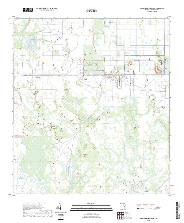
2024 Long Island Marsh NW
DeSoto County, FL
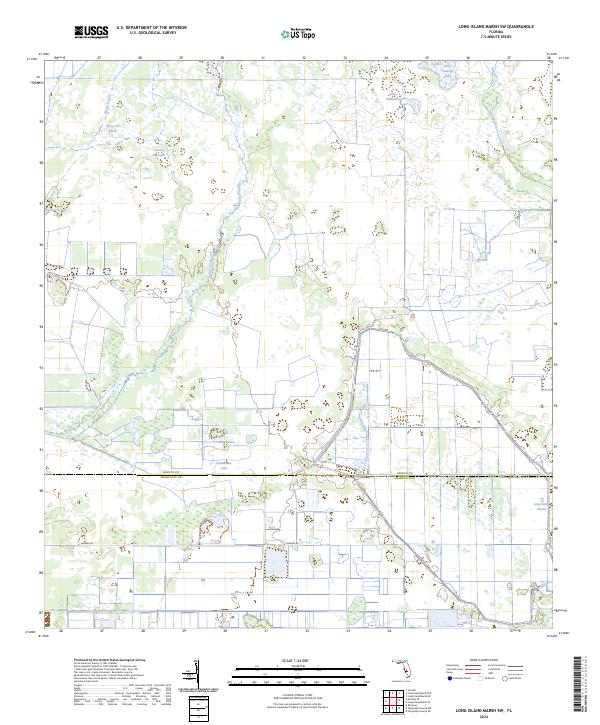
2024 Long Island Marsh SW
DeSoto County, FL
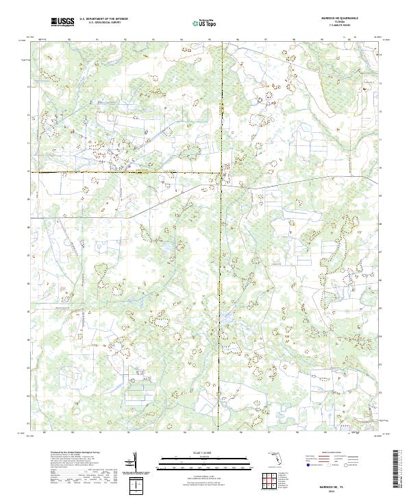
2024 Murdock NE
DeSoto County, FL
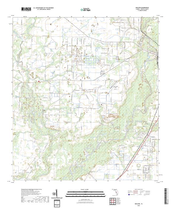
2024 Nocatee
DeSoto County, FL