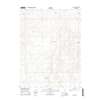
2014 Map of Archy Bench
USGS Topo · Published 2014About this map
Bitter Creek Gas Field and the surrounding high desert plateaus of Uintah County define this 2014 survey. The landscape is characterized by its energy infrastructure and the deep incisions of the White River and Bitter Cr, which carve through the high elevations of Archy Bench and East Bench. These topographic features illustrate the stark, functional geography of northeastern Utah's oil and gas country. Primitive access routes like Archy Bench Rd, Love Rd, and the road to the Island Gas Fld serve the industrial activity scattered across the various sections of Township 10 South. The map documents a modern era of resource extraction where named landmarks are often associated with the petroleum industry or the major drainage systems like Sand Wash, highlighting the intersection of industrial development and the natural drainages of the Uinta Basin.
Find a feature on this map
18 named features on this map. Tap any name to fly to it.
Don’t see what you’re looking for? This feature index may not catch every label — zoom into the map to look around manually.
Map Details
Editions of this 2014 Archy Bench Map
This is the sole edition of this map. No revisions or reprints were ever made.
Other maps of this area

1885 · East Tavaputs
USGS Topo · 1:250,000

1885 · Ashley
USGS Topo · 1:250,000

1907 · Jensen
USGS Topo · 1:125,000

1910 · Jensen
USGS Topo · 1:125,000

1917 · Vernal
USGS Topo · 1:125,000

1954 · Vernal
USGS Topo · 1:250,000

1956 · Grand Junction
USGS Topo · 1:250,000

1958 · Vernal
USGS Topo · 1:250,000

1959 · Grand Junction
USGS Topo · 1:250,000

1960 · Vernal
USGS Topo · 1:250,000