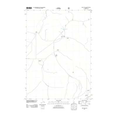
2011 Map of Arco Hills
USGS Topo · Published 2011About this map
Arco Hills define the high-desert landscape of Butte County, where a network of dry drainages and primitive roads connects isolated water sources and canyon systems. The presence of Walker Spring and Combe Reservoir indicates the critical importance of water management in this arid region of Idaho. The landscape is deeply incised by family-named canyons, such as Braithwaite Canyon, Wood Canyon, and Walker Canyon, suggesting a history of early ranching and land use where topographical features served as primary boundary markers.
Find a feature on this map
16 named features on this map. Tap any name to fly to it.
Don’t see what you’re looking for? This feature index may not catch every label — zoom into the map to look around manually.
Map Details
Editions of this 2011 Arco Hills Map
This is the sole edition of this map. No revisions or reprints were ever made.
Other maps of this area

1955 · Idaho Falls
USGS Topo · 1:250,000

1958 · Idaho Falls
USGS Topo · 1:250,000

1969 · Arco Pass
USGS Topo · 1:24,000

1969 · Ramshorn Canyon
USGS Topo · 1:24,000

1969 · Howe
USGS Topo · 1:24,000

1972 · Arco North
USGS Topo · 1:24,000

1972 · Arco Hills SE
USGS Topo · 1:24,000

1972 · Arco South
USGS Topo · 1:24,000

1972 · Howe Peak
USGS Topo · 1:24,000

1972 · Butte City
USGS Topo · 1:24,000