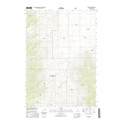
2017 Map of Arco Pass
USGS Topo · Published 2017About this map
Lost River Range peaks dominate this high-altitude survey of Butte County, where the transition from the Little Lost River Valley into deep mountain drainages defines the landscape. Much of the western and central territory is protected within the Challis National Forest, a terrain of steep elevation changes marked by numerous named canyons such as Cedarville Canyon and Briggs Canyon. Access through these high ridges is facilitated by Arco Pass, with secondary routes like the Arco Pass Spur #1 and Hurst Canyon Pass Rd providing passage between the valley floors and the peaks.
Find a feature on this map
19 named features on this map. Tap any name to fly to it.
Don’t see what you’re looking for? This feature index may not catch every label — zoom into the map to look around manually.
Map Details
Editions of this 2017 Arco Pass Map
This is the sole edition of this map. No revisions or reprints were ever made.
Other maps of this area

1955 · Idaho Falls
USGS Topo · 1:250,000

1958 · Idaho Falls
USGS Topo · 1:250,000

1969 · Arco Pass
USGS Topo · 1:24,000

1969 · Ramshorn Canyon
USGS Topo · 1:24,000

1969 · Howe
USGS Topo · 1:24,000

1969 · Howe NW
USGS Topo · 1:24,000

1969 · Howe NE
USGS Topo · 1:24,000

1969 · Sunset Peak
USGS Topo · 1:24,000

1972 · Arco North
USGS Topo · 1:24,000

1972 · Howe Peak
USGS Topo · 1:24,000