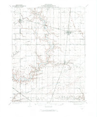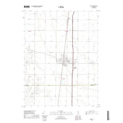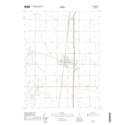
1983 Map of Arcola
USGS Topo · Published 1983About this map
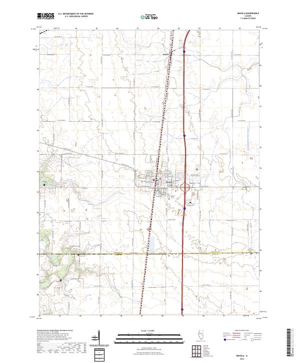
Arcola serves as the central hub of this 1980s prairie landscape, situated where the Illinois Central Gulf railroad bisects the town. This survey illustrates a highly developed agricultural and industrial grid, with the Cooks Mills Consolidated Oil Field extending into the southwestern portion of the quadrangle. The intersection of local infrastructure and natural waterways is evident as the Kaskaskia River and North Okaw River wind through the western sections, providing drainage for the surrounding fields.
Find a feature on this map
22 named features on this map. Tap any name to fly to it.
Don’t see what you’re looking for? This feature index may not catch every label — zoom into the map to look around manually.
Map Details
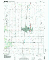
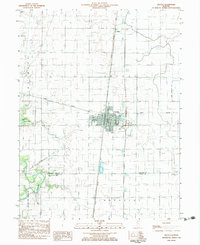
Editions of this 1983 Arcola Map
This is the sole edition of this map. No revisions or reprints were ever made.
Historical Maps of Arcola Through Time
9 maps found