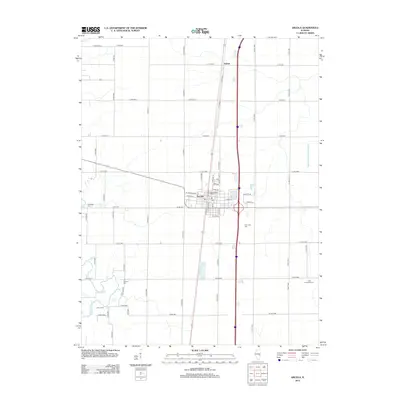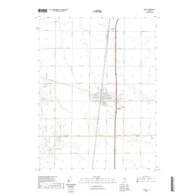
1998 Map of Arcola
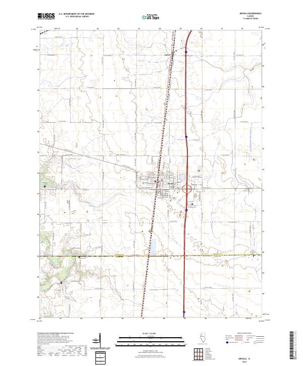
USGS Topo · Published 2002About this map
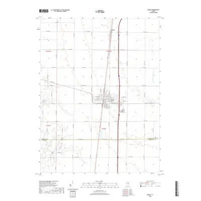
Arcola serves as the central hub of this Central Illinois landscape, where the town's grid is bisected by a major north-south transit corridor. The map reveals a highly engineered agricultural and industrial environment, featuring the Cooks Mills Consolidated Oil Field and the extensive Arcola Drainage Ditch No 4, reflecting the region's reliance on both resource extraction and water management. Outside the main settlement, the smaller communities of Galton and Chesterville anchor the surrounding townships of Bourbon and Humboldt.
Find a feature on this map
37 named features on this map. Tap any name to fly to it.
Don’t see what you’re looking for? This feature index may not catch every label — zoom into the map to look around manually.
Map Details
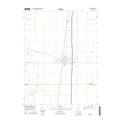
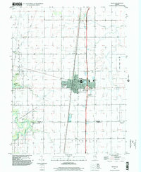
Editions of this 1998 Arcola Map
This is the sole edition of this map. No revisions or reprints were ever made.
Historical Maps of Arcola Through Time
9 maps found