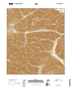
2018 Map of Arctic C-3 NE
USGS Topo · Published 2018About this map
Flatrock Creek and its tributary Flatrock Cr define the central and southern drainage patterns of this high-latitude terrain within the North Slope. Located at the intersection of several township boundaries including t8s r29e and t9s r29e, the landscape is characterized by its isolation and lack of human infrastructure. In the far northeast corner, Cane Creek briefly appears as it moves toward lower elevations. The map reveals an area defined purely by its natural hydrology and relief, providing a clear record of the physical geography before any modern industrial or commercial footprints reached this specific corner of the borough.
Find a feature on this map
8 named features on this map. Tap any name to fly to it.
Don’t see what you’re looking for? This feature index may not catch every label — zoom into the map to look around manually.
Map Details
Editions of this 2018 Arctic C-3 NE Map
This is the sole edition of this map. No revisions or reprints were ever made.
Other maps of this area

1951 · Arctic
USGS Topo · 1:250,000

1956 · Arctic
USGS Topo · 1:250,000

1983 · Arctic C-3
USGS Topo · 1:63,360
1983 · Arctic D-2
USGS Topo · 1:63,360

1983 · Arctic C-2
USGS Topo · 1:63,360
1983 · Arctic D-3
USGS Topo · 1:63,360
2018 · Arctic D-2 SW
USGS Topo · 1:25,000
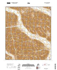
2018 · Arctic C-2 NW
USGS Topo · 1:25,000
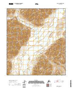
2018 · Arctic C-2 SW
USGS Topo · 1:25,000
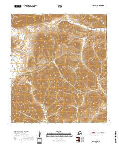
2018 · Arctic C-3 SE
USGS Topo · 1:25,000