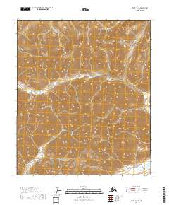
2018 Map of Arctic D-1 NW
USGS Topo · Published 2018About this map
Guilbeau Pass serves as a critical natural crossing in this high-altitude landscape of the northern interior. Situated within the North Slope Borough, the terrain is defined by a dense network of ridges and drainages that feed into the East Fork Chandalar River in the southeast corner. The survey illustrates a vast wilderness area organized by the Public Land Survey System, specifically within t5s r32e, t5s r33e, t6s r32e, and t6s r33e. Unlike more developed regions, the absence of human-built infrastructure emphasizes the preservation of the traditional drainage patterns and the untouched character of the Brooks Range foothills.
Find a feature on this map
6 named features on this map. Tap any name to fly to it.
Don’t see what you’re looking for? This feature index may not catch every label — zoom into the map to look around manually.
Map Details
Editions of this 2018 Arctic D-1 NW Map
This is the sole edition of this map. No revisions or reprints were ever made.
Other maps of this area

1951 · Arctic
USGS Topo · 1:250,000

1951 · Mt. Michelson
USGS Topo · 1:250,000

1956 · Arctic
USGS Topo · 1:250,000

1956 · Mt. Michelson
USGS Topo · 1:250,000
1983 · Mount Michelson A-1
USGS Topo · 1:63,360

1983 · Mount Michelson A-2
USGS Topo · 1:63,360
1983 · Arctic D-2
USGS Topo · 1:63,360
1983 · Arctic D-1
USGS Topo · 1:63,360
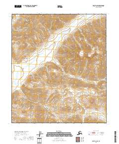
2018 · Arctic D-1 SW
USGS Topo · 1:25,000
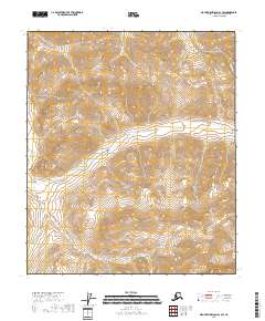
2018 · Mount Michelson A-1 SW
USGS Topo · 1:25,000