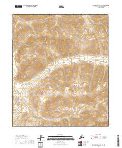
2018 Map of Mount Michelson A-1 SW
USGS Topo · Published 2018About this map
Hulahula River flows through the central portion of this North Slope landscape, providing a primary drainage route for the surrounding elevation. This part of the Brooks Range shows the intricate topographic character of the region as it appeared in the early 21st century. The map also traces the path of Itkillik Cr as it winds through the southern terrain, delineating the natural watersheds between established township boundaries like t4s r32e and t5s r32e. For those studying the hydrology and physical geography of this Arctic region, the map documents the relationship between these glacial-fed watercourses and the high-elevation contours of the Mount Michelson area.
Find a feature on this map
6 named features on this map. Tap any name to fly to it.
Don’t see what you’re looking for? This feature index may not catch every label — zoom into the map to look around manually.
Map Details
Editions of this 2018 Mount Michelson A-1 SW Map
This is the sole edition of this map. No revisions or reprints were ever made.
Other maps of this area

1951 · Arctic
USGS Topo · 1:250,000

1951 · Mt. Michelson
USGS Topo · 1:250,000

1956 · Arctic
USGS Topo · 1:250,000

1956 · Mt. Michelson
USGS Topo · 1:250,000
1983 · Mount Michelson A-1
USGS Topo · 1:63,360

1983 · Mount Michelson A-2
USGS Topo · 1:63,360
1983 · Arctic D-2
USGS Topo · 1:63,360
1983 · Arctic D-1
USGS Topo · 1:63,360
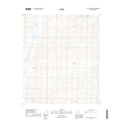
2018 · Mount Michelson A-1 NW
USGS Topo · 1:25,000
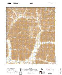
2018 · Arctic D-1 NE
USGS Topo · 1:25,000