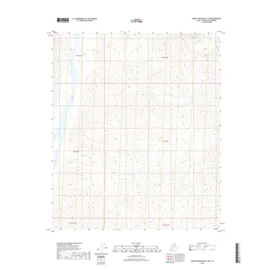
2018 Map of Mount Michelson A-1 NW
USGS Topo · Published 2018About this map
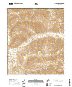
Hulahula River flows through this corner of the Arctic wilderness, defining the primary drainage for this remote section of the North Slope. The terrain is characterized by the braided path of the river as it moves northward toward the Beaufort Sea, flanked by its tributaries including West Patuk Creek and E Patuk Cr. The survey illustrates the complex topography of the Brooks Range foothills, where dramatic elevation changes are documented by dense contour intervals. Aside from these natural waterways, the map is defined by the rigid grid of the Public Land Survey System, including boundaries for t3s r31e, t3s r32e, and surrounding townships, marking out vast tracts of uninhabited land where no permanent settlements or infrastructure are recorded.
Find a feature on this map
9 named features on this map. Tap any name to fly to it.
Don’t see what you’re looking for? This feature index may not catch every label — zoom into the map to look around manually.
Map Details
Editions of this 2018 Mount Michelson A-1 NW Map
This is the sole edition of this map. No revisions or reprints were ever made.
Other maps of this area

1951 · Mt. Michelson
USGS Topo · 1:250,000

1955 · Mount Michelson B-1
USGS Topo · 1:63,360

1956 · Mt. Michelson
USGS Topo · 1:250,000

1956 · Mount Michelson B-2
USGS Topo · 1:63,360
1983 · Mount Michelson A-1
USGS Topo · 1:63,360

1983 · Mount Michelson A-2
USGS Topo · 1:63,360
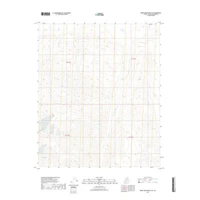
2018 · Mount Michelson B-2 SE
USGS Topo · 1:25,000
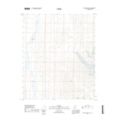
2018 · Mount Michelson B-1 SW
USGS Topo · 1:25,000
2018 · Mount Michelson A-1 SW
USGS Topo · 1:25,000
2018 · Mount Michelson A-1 NE
USGS Topo · 1:25,000