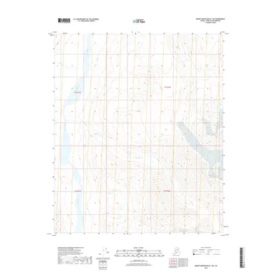
2018 Map of Mount Michelson B-1 SW
USGS Topo · Published 2018About this map
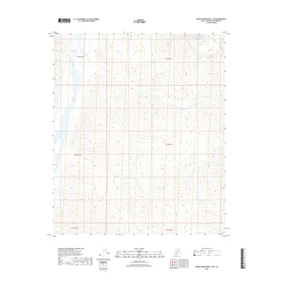
The Hulahula River dominates the western corridor of this North Slope landscape, carving a broad valley through the northern Brooks Range foothills. This 2018 survey captures a remote wilderness defined by intricate drainage networks, where Katak Cr and Kolotuk Cr feed into the primary river system. The terrain is marked by high-elevation contours and steep gradients, particularly in the eastern reaches near Esetuk Cr. This map is a record of the shifting hydrography in a region with no developed roads or permanent settlements, showcasing the natural braiding and flow patterns of Arctic watercourses. The grid lines of t1s r31e and t1s r32e provide the only human-imposed structure over this otherwise undisturbed expanse of the Alaskan interior.
Find a feature on this map
8 named features on this map. Tap any name to fly to it.
Don’t see what you’re looking for? This feature index may not catch every label — zoom into the map to look around manually.
Map Details
Editions of this 2018 Mount Michelson B-1 SW Map
This is the sole edition of this map. No revisions or reprints were ever made.
Other maps of this area

1951 · Mt. Michelson
USGS Topo · 1:250,000

1955 · Mount Michelson B-1
USGS Topo · 1:63,360

1956 · Mt. Michelson
USGS Topo · 1:250,000

1956 · Mount Michelson B-2
USGS Topo · 1:63,360
1983 · Mount Michelson A-1
USGS Topo · 1:63,360

1983 · Mount Michelson A-2
USGS Topo · 1:63,360
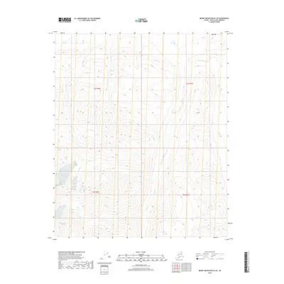
2018 · Mount Michelson B-2 SE
USGS Topo · 1:25,000
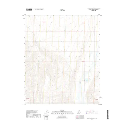
2018 · Mount Michelson B-1 NE
USGS Topo · 1:25,000
2018 · Mount Michelson A-1 NW
USGS Topo · 1:25,000
2018 · Mount Michelson B-2 NE
USGS Topo · 1:25,000