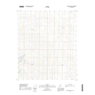
2018 Map of Mount Michelson B-2 SE
USGS Topo · Published 2018About this map
Katak Creek and Karen Creek carve through the high-elevation terrain of the Arctic National Wildlife Refuge in this 2018 survey. The landscape is defined by steep contour intervals that illustrate the dramatic rise and fall of the Brooks Range foothills, with drainage patterns flowing northward toward the coastal plain. While the map is devoid of human structures or settlements, it provides precise legal boundary markers for t1s r30e, t1s r31e, t2s r30e, and t2s r31e, which are essential for identifying specific land tracts in this roadless wilderness. The intersection of these township and range lines, combined with the detailed hydrography of the creek headwaters, offers a clear record of the area's physical geography before any significant human footprint was established.
Find a feature on this map
6 named features on this map. Tap any name to fly to it.
Don’t see what you’re looking for? This feature index may not catch every label — zoom into the map to look around manually.
Map Details
Editions of this 2018 Mount Michelson B-2 SE Map
This is the sole edition of this map. No revisions or reprints were ever made.
Other maps of this area

1951 · Mt. Michelson
USGS Topo · 1:250,000

1955 · Mount Michelson B-1
USGS Topo · 1:63,360

1956 · Mt. Michelson
USGS Topo · 1:250,000

1956 · Mount Michelson B-2
USGS Topo · 1:63,360
1983 · Mount Michelson A-1
USGS Topo · 1:63,360

1983 · Mount Michelson A-2
USGS Topo · 1:63,360
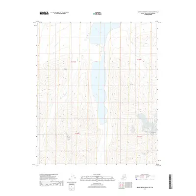
2018 · Mount Michelson B-2 SW
USGS Topo · 1:25,000
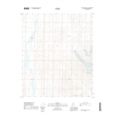
2018 · Mount Michelson B-1 SW
USGS Topo · 1:25,000
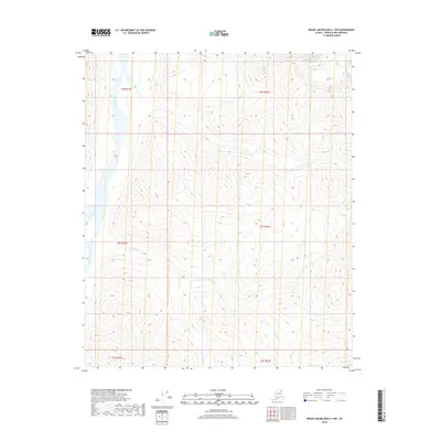
2018 · Mount Michelson A-1 NW
USGS Topo · 1:25,000
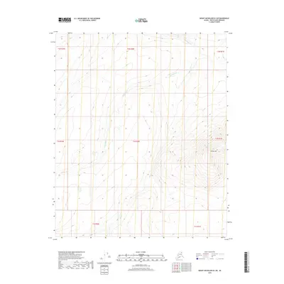
2018 · Mount Michelson B-2 NE
USGS Topo · 1:25,000