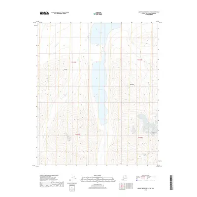
2018 Map of Mount Michelson B-2 SW
USGS Topo · Published 2018About this map
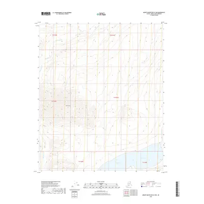
Mt Chamberlin dominates the southeastern quadrant of this Brooks Range landscape, marking one of the highest elevations in the region. The drainage patterns here are defined by glacial action and seasonal melt, with Lake Peters and Neruokpuk Lakes occupying the central valley floor. These water bodies are fed by a network of alpine streams, including Whistler Cr, Spawning Cr, and Carnivore Cr. The topography is characterized by steep ridges and deep glacial troughs, such as Kelly Ridge and the heights around Mt Mary. This 2018 survey by the U.S. Geological Survey provides a precise view of the remote drainage systems of the North Slope Borough, where the headwaters of Chamberlin Cr and Coke Cr carve through high-altitude terrain near the northern edge of the Brooks Range.
Find a feature on this map
14 named features on this map. Tap any name to fly to it.
Don’t see what you’re looking for? This feature index may not catch every label — zoom into the map to look around manually.
Map Details
Editions of this 2018 Mount Michelson B-2 SW Map
This is the sole edition of this map. No revisions or reprints were ever made.
Other maps of this area

1951 · Mt. Michelson
USGS Topo · 1:250,000

1956 · Mt. Michelson
USGS Topo · 1:250,000

1956 · Mount Michelson B-2
USGS Topo · 1:63,360

1956 · Mount Michelson B-3
USGS Topo · 1:63,360

1983 · Mount Michelson A-3
USGS Topo · 1:63,360

1983 · Mount Michelson A-2
USGS Topo · 1:63,360
2018 · Mount Michelson B-2 SE
USGS Topo · 1:25,000
2018 · Mount Michelson B-2 NE
USGS Topo · 1:25,000
2018 · Mount Michelson A-2 NW
USGS Topo · 1:25,000
2018 · Mount Michelson B-2 NW
USGS Topo · 1:25,000