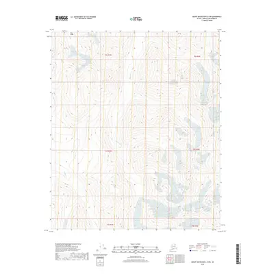
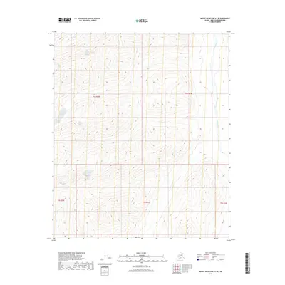
2018 Map of Mount Michelson A-2 NW
USGS Topo · Published 2018About this map
The Mary Range defines the northern reaches of this Arctic terrain within the North Slope Borough, where elevation and glacial hydrology dictate the landscape's structure. High-altitude drainages such as Carnivore Cr and Franklin Cr cut through the mountainous topography, flowing through sections defined by the Public Land Survey System including t2s r29e, t3s r29e, and t4s r30e. This survey emphasizes the raw natural state of the Brooks Range foothills before modern infrastructure, recording a region where the only navigable corridors follow these remote watercourses. The absence of roads or settlements underscores the topographic isolation of this wilderness during the early 21st century.
Find a feature on this map
9 named features on this map. Tap any name to fly to it.
Don’t see what you’re looking for? This feature index may not catch every label — zoom into the map to look around manually.
Map Details
Editions of this 2018 Mount Michelson A-2 NW Map
This is the sole edition of this map. No revisions or reprints were ever made.
Other maps of this area

1951 · Mt. Michelson
USGS Topo · 1:250,000

1956 · Mt. Michelson
USGS Topo · 1:250,000

1956 · Mount Michelson B-2
USGS Topo · 1:63,360

1956 · Mount Michelson B-3
USGS Topo · 1:63,360

1983 · Mount Michelson A-3
USGS Topo · 1:63,360

1983 · Mount Michelson A-2
USGS Topo · 1:63,360
2018 · Mount Michelson B-2 SE
USGS Topo · 1:25,000
2018 · Mount Michelson B-2 SW
USGS Topo · 1:25,000
2018 · Mount Michelson A-2 NE
USGS Topo · 1:25,000
2018 · Mount Michelson A-2 SE
USGS Topo · 1:25,000