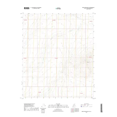
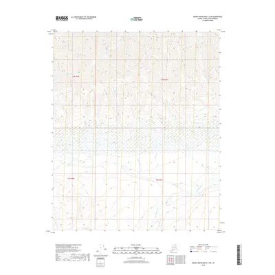
2018 Map of Mount Michelson B-2 NE
USGS Topo · Published 2018About this map
The Kekiktuk River winds through this Arctic landscape, cutting across a terrain defined by significant elevation changes in the Brooks Range foothills. The water system is joined by Karen Cr, which drains from the steep slopes of the eastern sections of the quadrangle. Dominating the southeastern quadrant, Kikiktat Mtn rises sharply, its topographic contours illustrating the complex verticality of the North Slope Borough. This 2018 survey reveals a wilderness area devoid of roads or permanent settlements, where the primary organizational markers are the Public Land Survey System boundaries, including t1n r30e and t2n r30e. The map serves as a primary record of the natural hydrology and topographical relief before any modern infrastructure was introduced to this portion of northern Alaska.
Find a feature on this map
11 named features on this map. Tap any name to fly to it.
Don’t see what you’re looking for? This feature index may not catch every label — zoom into the map to look around manually.
Map Details
Editions of this 2018 Mount Michelson B-2 NE Map
This is the sole edition of this map. No revisions or reprints were ever made.
Other maps of this area

1951 · Mt. Michelson
USGS Topo · 1:250,000

1955 · Mount Michelson B-1
USGS Topo · 1:63,360

1955 · Mount Michelson C-1
USGS Topo · 1:63,360

1955 · Mount Michelson C-2
USGS Topo · 1:63,360

1956 · Mt. Michelson
USGS Topo · 1:250,000

1956 · Mount Michelson B-2
USGS Topo · 1:63,360
2018 · Mount Michelson B-2 SE
USGS Topo · 1:25,000
2018 · Mount Michelson B-2 SW
USGS Topo · 1:25,000
2018 · Mount Michelson B-1 SW
USGS Topo · 1:25,000
2018 · Mount Michelson C-2 SW
USGS Topo · 1:25,000