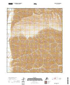
2018 Map of Arctic D-4 NE
USGS Topo · Published 2018About this map
Marsh Fork winds through the western reaches of this North Slope landscape, providing the primary hydrological feature in an area dominated by sharp elevation changes and high-altitude terrain. The map serves as a detailed study of land divisions within the Arctic D-4 NE quadrangle, documenting the intersections of T5s R25e, T5s R26e, and T6s R26e among others. Unlike many topographical surveys that focus on human infrastructure, this 2018 record highlights an nearly untouched wilderness where the contour lines themselves tell the story of the land. The absence of named settlements, roads, or structures emphasizes the isolation of this portion of the North Slope Borough, where the natural drainage of the Marsh Fork remains the central point of geographical orientation.
Find a feature on this map
7 named features on this map. Tap any name to fly to it.
Don’t see what you’re looking for? This feature index may not catch every label — zoom into the map to look around manually.
Map Details
Editions of this 2018 Arctic D-4 NE Map
This is the sole edition of this map. No revisions or reprints were ever made.
Other maps of this area

1951 · Arctic
USGS Topo · 1:250,000

1951 · Mt. Michelson
USGS Topo · 1:250,000

1956 · Arctic
USGS Topo · 1:250,000

1956 · Mt. Michelson
USGS Topo · 1:250,000

1983 · Mount Michelson A-3
USGS Topo · 1:63,360
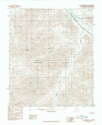
1983 · Mount Michelson A-4
USGS Topo · 1:63,360
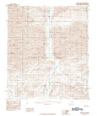
1983 · Arctic D-4
USGS Topo · 1:63,360
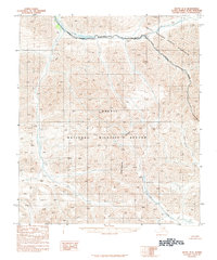
1983 · Arctic D-3
USGS Topo · 1:63,360
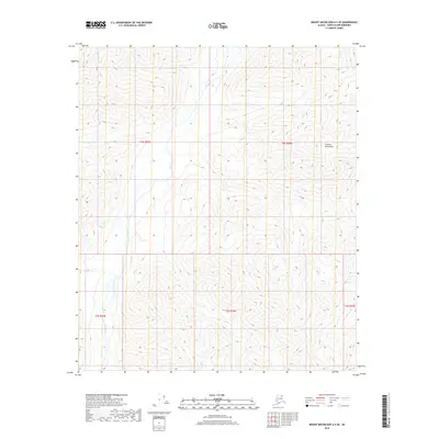
2018 · Mount Michelson A-4 SE
USGS Topo · 1:25,000
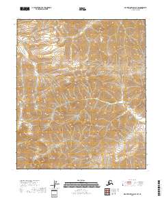
2018 · Mount Michelson A-4 SW
USGS Topo · 1:25,000