
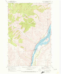
1968 Map of Ardenvoir
USGS Topo · Published 1972About this map
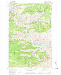
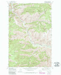
Entiat Valley serves as the central artery of this 1960s landscape, where the Entiat River carves through the heavily dissected terrain of the Wenatchee National Forest. The small community of Ardenvoir anchors the northwestern corner of the sheet, providing a primary point of reference in a region defined by steep canyons and prominent ridges. Notable land-use markers include a Fish Hatchery along the river and the Entiat Cem located further downstream.
Find a feature on this map
44 named features on this map. Tap any name to fly to it.
Don’t see what you’re looking for? This feature index may not catch every label — zoom into the map to look around manually.
Map Details
Editions of this 1968 Ardenvoir Map
3 editions found
Other maps of this area

1901 · Chelan
USGS Topo · 1:125,000

1957 · Wenatchee
USGS Topo · 1:250,000

1968 · Orondo
USGS Topo · 1:24,000

1968 · Entiat
USGS Topo · 1:24,000
1968 · Cashmere
USGS Topo · 1:24,000

1968 · Tyee Mtn.
USGS Topo · 1:24,000

1968 · Baldy Mtn
USGS Topo · 1:24,000
1968 · Chumstick Mtn
USGS Topo · 1:24,000

1968 · Winesap
USGS Topo · 1:24,000
1968 · Rocky Reach Dam
USGS Topo · 1:24,000