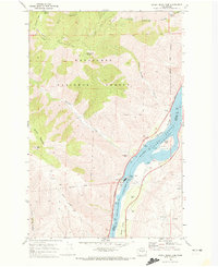
1968 Map of Rocky Reach Dam
USGS Topo · Published 1973About this map
The Rocky Reach Dam serves as the focal point of this 1960s survey, illustrating the significant industrial and hydrological transformation along the Columbia River Lake Entiat. The map details the technical infrastructure of the site, including the Powerhouse, Substa, and Fish Ladder, alongside recreational and land management features like Turtle Rock and the Spawning Run.
Find a feature on this map
75 named features on this map. Tap any name to fly to it.
Don’t see what you’re looking for? This feature index may not catch every label — zoom into the map to look around manually.
Map Details
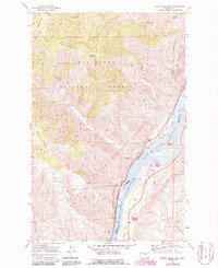
Editions of this 1968 Rocky Reach Dam Map
2 editions found
Other maps of this area

1901 · Chelan
USGS Topo · 1:125,000

1912 · Malaga
USGS Topo · 1:48,000

1913 · Wenatchee
USGS Topo · 1:62,500

1914 · Malaga
USGS Topo · 1:62,500

1915 · Wenatchee
USGS Topo · 1:62,500

1920 · Colockum Pass
USGS Topo · 1:125,000

1922 · Colockum Pass
USGS Topo · 1:125,000

1957 · Wenatchee
USGS Topo · 1:250,000

1966 · Rock Island
USGS Topo · 1:24,000

1966 · Wenatchee
USGS Topo · 1:24,000