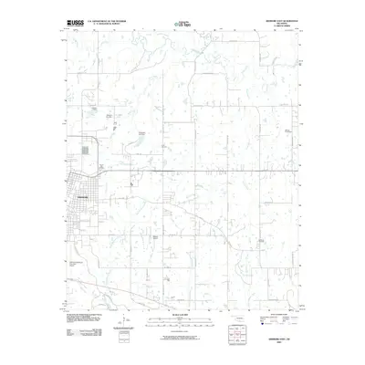
2009 Map of Ardmore East
USGS Topo · Published 2009About this map
The eastern edge of Ardmore serves as the focal point of this 2009 survey, where the city's residential grid gives way to the creek-fed lowlands of Carter County. Significant water management is evident through a series of impoundments, including Carter 1 Dam, Mckown Lake Dam, and Chickasaw Lake Dam, which control the flow of Sand Creek and its tributaries. These features, alongside the Ardmore Downtown Executive Airport, illustrate the infrastructure supporting this regional hub.
Find a feature on this map
51 named features on this map. Tap any name to fly to it.
Don’t see what you’re looking for? This feature index may not catch every label — zoom into the map to look around manually.
Map Details
Editions of this 2009 Ardmore East Map
This is the sole edition of this map. No revisions or reprints were ever made.
Other maps of this area

1901 · Tishomingo
USGS Topo · 1:125,000

1901 · Ardmore
USGS Topo · 1:125,000

1918 · Ardmore
USGS Topo · 1:125,000

1957 · Ardmore
USGS Topo · 1:250,000

1963 · Ardmore
USGS Topo · 1:250,000

1963 · Mannsville
USGS Topo · 1:24,000

1963 · Mc Millan
USGS Topo · 1:24,000

1963 · Nebo
USGS Topo · 1:24,000

1964 · Lake Murray
USGS Topo · 1:24,000

1964 · Ardmore East
USGS Topo · 1:24,000