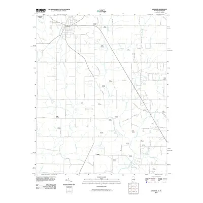
2010 Map of Ardmore
USGS Topo · Published 2010About this map
Ardmore straddles the state line in this northern Alabama landscape, serving as a hub for a network of rural roads and scattered homesteads. The terrain is defined by the headwaters of numerous waterways, including Piney Creek and Little Limestone Creek, which drain the rolling fields southward. This 2010 map is a valuable resource for genealogists, as it documents an exceptional density of family burial grounds. Notable sites such as the German Cemetery, Austin Cemetery, and Delap-Clemant Cemetery are clearly marked alongside landmarks like the Ardmore Post Office and Concord Church. In the southern portion of the quadrangle, the small settlements of Oak Grove and Pisgah stand near prominent natural water sources like Wooley Spring and Old Limestone Church Spring. The presence of features such as Magnusson Hollow and Sand Spring illustrates the complex karst and spring-fed geography unique to this border region.
Find a feature on this map
104 named features on this map. Tap any name to fly to it.
Don’t see what you’re looking for? This feature index may not catch every label — zoom into the map to look around manually.
Map Details
Editions of this 2010 Ardmore Map
This is the sole edition of this map. No revisions or reprints were ever made.
Other maps of this area

1888 · Huntsville
USGS Topo · 1:125,000

1892 · Huntsville
USGS Topo · 1:125,000

1935 · Athens
USGS Topo · 1:24,000

1936 · Jeff
USGS Topo · 1:24,000

1936 · Capshaw
USGS Topo · 1:24,000

1936 · Taft
USGS Topo · 1:24,000

1936 · Elkmont
USGS Topo · 1:24,000

1936 · Ardmore
USGS Topo · 1:24,000

1936 · Toney
USGS Topo · 1:24,000

1936 · Elkton
USGS Topo · 1:24,000