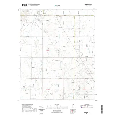
2020 Map of Ardmore
USGS Topo · Published 2020About this map
Ardmore straddles the Tennessee-Alabama border, serving as a focal point for this landscape where agriculture and small communities meet. The area is dense with family and community history, evidenced by the numerous cemeteries such as Austin Cem, Gatlin Cem, and German Cem that dot the countryside. Significant watercourses like Limestone Creek and Piney Cr drain the terrain, providing the natural framework for established settlements like Maple Hill, Bethel, and Oak Grove. The map reveals a transition from the structured street grid of Ardmore, including Main St and Elk St, to the winding rural roads that connect local landmarks like Concord Church and Magnusson Hollow. This 2020 survey provides a clear view of how modern boundaries and older land divisions, such as t1s r3w and t2s r2w, intersect with the natural topography of the Alabama-Tennessee state line.
Find a feature on this map
166 named features on this map. Tap any name to fly to it.
Don’t see what you’re looking for? This feature index may not catch every label — zoom into the map to look around manually.
Map Details
Editions of this 2020 Ardmore Map
This is the sole edition of this map. No revisions or reprints were ever made.
Other maps of this area

1888 · Huntsville
USGS Topo · 1:125,000

1892 · Huntsville
USGS Topo · 1:125,000

1935 · Athens
USGS Topo · 1:24,000

1936 · Jeff
USGS Topo · 1:24,000

1936 · Capshaw
USGS Topo · 1:24,000

1936 · Taft
USGS Topo · 1:24,000

1936 · Elkmont
USGS Topo · 1:24,000

1936 · Ardmore
USGS Topo · 1:24,000

1936 · Toney
USGS Topo · 1:24,000

1936 · Elkton
USGS Topo · 1:24,000