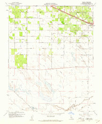
1960 Map of Arena
USGS Topo · Published 1961About this map
Agricultural development and irrigation infrastructure define this Merced County landscape in the early 1960s, centered on the settlement of Arena and the growing town of Atwater. The northern half of the map is a complex grid of orchards and fields fed by an intricate network of water works, including the Arena Canal, Liberty Canal, and various man-made channels like the Mc Gilvray Lateral. Transport through the region is anchored by the Southern Pacific railroad, which runs parallel to the primary highway corridor.
Find a feature on this map
32 named features on this map. Tap any name to fly to it.
Don’t see what you’re looking for? This feature index may not catch every label — zoom into the map to look around manually.
Map Details
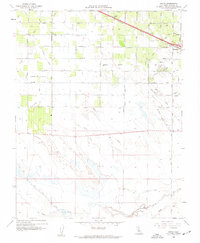
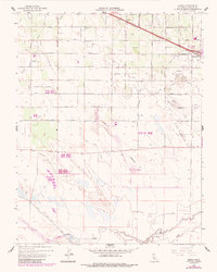
Editions of this 1960 Arena Map
3 editions found
Other maps of this area

1916 · Cressey
USGS Topo · 1:31,680

1917 · Turlock
USGS Topo · 1:31,680

1917 · Winton
USGS Topo · 1:31,680

1918 · Arena
USGS Topo · 1:31,680

1918 · Atwater
USGS Topo · 1:31,680

1918 · Stevinson
USGS Topo · 1:31,680

1918 · Sandy Mush
USGS Topo · 1:31,680

1918 · Turner Ranch
USGS Topo · 1:31,680

1919 · San Luis Ranch
USGS Topo · 1:31,680
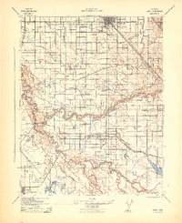
1942 · Irwin
USGS Topo · 1:62,500