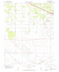
1960 Map of Arena
USGS Topo · Published 1961About this map
Agricultural development and sophisticated water management define the landscape around Arena in the early 1960s. This survey illustrates a complex network of irrigation infrastructure essential to the Central Valley, including the Arena Canal, Livingston Canal, and the East Side Canal. These man-made waterways interact with natural features like Bear Creek and South Slough, creating a highly organized grid of orchards and fields. The Southern Pacific railroad cuts a diagonal path through the northern section, connecting the small community of Arena with the growing edge of Atwater. A notable piece of rural infrastructure, the Tin Flume, and a localized Airstrip indicate the era's reliance on both traditional rail and emerging aerial logistics for farming. The map traces numerous named roads and laterals, such as Lehner Boulevard and the Swenson Lateral, which provide a detailed record of land use and property boundaries during this period.
Find a feature on this map
33 named features on this map. Tap any name to fly to it.
Don’t see what you’re looking for? This feature index may not catch every label — zoom into the map to look around manually.
Map Details
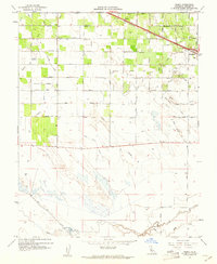
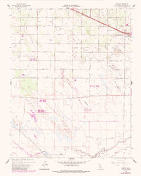
Editions of this 1960 Arena Map
3 editions found
Other maps of this area

1916 · Cressey
USGS Topo · 1:31,680

1917 · Turlock
USGS Topo · 1:31,680

1917 · Winton
USGS Topo · 1:31,680

1918 · Arena
USGS Topo · 1:31,680

1918 · Atwater
USGS Topo · 1:31,680

1918 · Stevinson
USGS Topo · 1:31,680

1918 · Sandy Mush
USGS Topo · 1:31,680

1918 · Turner Ranch
USGS Topo · 1:31,680

1919 · San Luis Ranch
USGS Topo · 1:31,680
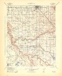
1942 · Irwin
USGS Topo · 1:62,500