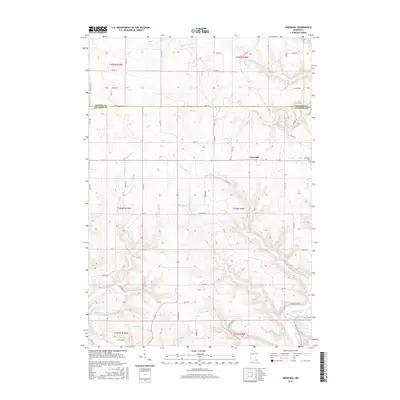
2016 Map of Arendahl
USGS Topo · Published 2016About this map
Arendahl and its surrounding rural landscapes characterize this 2016 survey along the northern edge of Fillmore County. The terrain is deeply defined by the hydrological network of the Root River and its numerous tributaries, including Pine Cr, Hemingway Cr, and Torkelson Cr, which carve through the land to create the distinct Lobland Valley. This area shows the enduring patterns of Southeast Minnesota's driftless-adjacent topography, where high ridges are partitioned by winding township roads and family-named routes like Ma Dailey Rd and Gathje Ln.
Find a feature on this map
54 named features on this map. Tap any name to fly to it.
Don’t see what you’re looking for? This feature index may not catch every label — zoom into the map to look around manually.
Map Details
Editions of this 2016 Arendahl Map
This is the sole edition of this map. No revisions or reprints were ever made.
Other maps of this area

1954 · Chatfield
USGS Topo · 1:62,500

1954 · Lewiston
USGS Topo · 1:62,500

1954 · Mason City
USGS Topo · 1:250,000

1957 · Mason City
USGS Topo · 1:250,000

1958 · Mason City
USGS Topo · 1:250,000

1958 · La Crosse
USGS Topo · 1:250,000

1961 · La Crosse
USGS Topo · 1:250,000

1965 · La Crosse
USGS Topo · 1:250,000

1965 · Bratsberg
USGS Topo · 1:24,000
1965 · Lanesboro
USGS Topo · 1:24,000