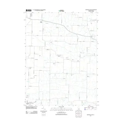
2012 Map of Arenzville East
USGS Topo · Published 2012About this map
Bluff Springs sits at the northern edge of this agricultural landscape in Cass County, where the terrain is marked by a high density of family burial grounds and small community cemeteries. This rural network includes names such as McLane Cem, Jockisch Methodist Cem, and the Treadway Miller Cem, illustrating the deep-rooted settlement patterns of the region. The map shows the transition from the upland farms down toward the southern settlement of Arenzville, which is served by the Trinity Lutheran Cem and Arenzville City East Cem. Waterways like Lost Cr and Clear Cr provide natural drainage for the fields between the small crossroads of Jules and the larger town sites. The road network, including 6 Mile Rd and Shiloh Rd, connects these disparate family plots and early homesteads, preserving the locations of 19th and 20th-century rural life.
Find a feature on this map
83 named features on this map. Tap any name to fly to it.
Don’t see what you’re looking for? This feature index may not catch every label — zoom into the map to look around manually.
Map Details
Editions of this 2012 Arenzville East Map
This is the sole edition of this map. No revisions or reprints were ever made.
Other maps of this area

1926 · Beardstown
USGS Topo · 1:62,500

1929 · Arenzville
USGS Topo · 1:62,500

1930 · Chandlerville
USGS Topo · 1:62,500

1932 · Arenzville
USGS Topo · 1:62,500

1932 · Chandlerville
USGS Topo · 1:62,500

1932 · Virginia
USGS Topo · 1:62,500

1936 · Virginia
USGS Topo · 1:62,500

1944 · Beardstown
USGS Topo · 1:62,500

1948 · Quincy
USGS Topo · 1:250,000

1956 · Quincy
USGS Topo · 1:250,000