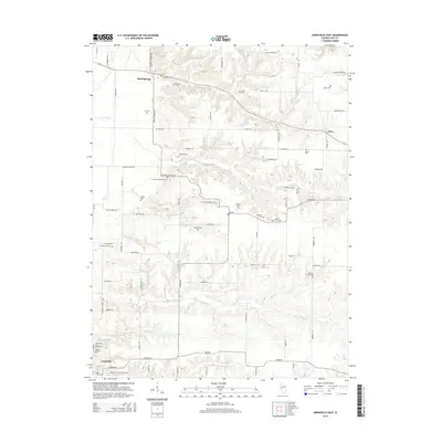
2015 Map of Arenzville East
USGS Topo · Published 2015About this map
Bluff Springs and Arenzville anchor this 2015 study of the agricultural landscape between the Illinois and Sangamon River valleys. The map reveals an exceptionally dense concentration of family and community burial grounds, providing a rare genealogical record for the region. These sites, such as the Jockish Methodist Cem and the Treadway-Miller Cem, are scattered across the drainage basins of Lost Cr and Clear Cr, often marking the locations of early homesteads or former congregations. The terrain is defined by the dissection of the prairie into numerous small runs and branches, including Mannel Br and Prairie Cr, which have shaped the irregular road network of the area. Modern secondary roads like Virginia Rd and Old Highway Rd follow the contours of the land, connecting the primary settlements to smaller locales like Jules in the northeast.
Find a feature on this map
74 named features on this map. Tap any name to fly to it.
Don’t see what you’re looking for? This feature index may not catch every label — zoom into the map to look around manually.
Map Details
Editions of this 2015 Arenzville East Map
This is the sole edition of this map. No revisions or reprints were ever made.
Other maps of this area

1926 · Beardstown
USGS Topo · 1:62,500

1929 · Arenzville
USGS Topo · 1:62,500

1930 · Chandlerville
USGS Topo · 1:62,500

1932 · Arenzville
USGS Topo · 1:62,500

1932 · Chandlerville
USGS Topo · 1:62,500

1932 · Virginia
USGS Topo · 1:62,500

1936 · Virginia
USGS Topo · 1:62,500

1944 · Beardstown
USGS Topo · 1:62,500

1948 · Quincy
USGS Topo · 1:250,000

1956 · Quincy
USGS Topo · 1:250,000