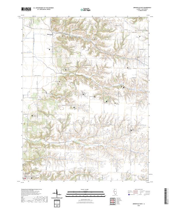
2024 Map of Arenzville East
USGS Topo · Published 2024About this map
Bluff Springs and the village of Arenzville anchor this map of eastern Cass County, where the landscape is defined by the winding drainages of Lost Creek and Clear Creek. This area is a dense tapestry of family history, as evidenced by the high concentration of small burial grounds scattered across the townships. Many of these sites, such as the Jockisch Cem, Treadway Miller Cem, and William Nisbet Cem, represent the enduring presence of early settler families in this part of Illinois.
Find a feature on this map
76 named features on this map. Tap any name to fly to it.
Don’t see what you’re looking for? This feature index may not catch every label — zoom into the map to look around manually.
Map Details
Editions of this 2024 Arenzville East Map
This is the sole edition of this map. No revisions or reprints were ever made.
Other maps of this area

1926 · Beardstown
USGS Topo · 1:62,500

1929 · Arenzville
USGS Topo · 1:62,500

1930 · Chandlerville
USGS Topo · 1:62,500

1932 · Arenzville
USGS Topo · 1:62,500

1932 · Chandlerville
USGS Topo · 1:62,500

1932 · Virginia
USGS Topo · 1:62,500

1936 · Virginia
USGS Topo · 1:62,500

1944 · Beardstown
USGS Topo · 1:62,500

1948 · Quincy
USGS Topo · 1:250,000

1956 · Quincy
USGS Topo · 1:250,000