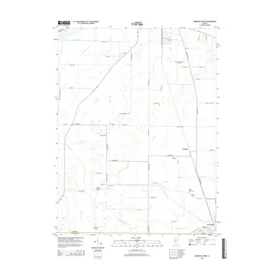
2015 Map of Arenzville West
USGS Topo · Published 2015About this map
The Illinois River floodplain dominates the northwestern corner of this landscape, giving way to a complex network of drainage works such as the N Lake Ditch and Valley Ditch. Settlement centers on the communities of Arenzville and Hagener, where local life is marked by numerous historic burial grounds including Saint Peters Lutheran Cem and Black Oak Cem. The region's transport infrastructure is defined by a grid of rural lanes and the presence of several aviation facilities, from the Greater Beardstown Airport to the smaller Krohe Airport and Kinsey RLA Airport. Moving south toward the Cass and Morgan County line, the terrain is shaped by the meandering paths of Indian Creek and the Old Channel Mud Cr, illustrating the intensive management of water for the surrounding agricultural lands. Notable local crossings like the Wagoner Bridge link the various levee roads and rural routes that crisscross this fertile Illinois river valley.
Find a feature on this map
62 named features on this map. Tap any name to fly to it.
Don’t see what you’re looking for? This feature index may not catch every label — zoom into the map to look around manually.
Map Details
Editions of this 2015 Arenzville West Map
This is the sole edition of this map. No revisions or reprints were ever made.
Other maps of this area

1923 · Rushville
USGS Topo · 1:62,500

1926 · Beardstown
USGS Topo · 1:62,500

1926 · Rushville
USGS Topo · 1:62,500

1928 · Meredosia
USGS Topo · 1:62,500

1929 · Arenzville
USGS Topo · 1:62,500

1931 · Meredosia
USGS Topo · 1:62,500

1932 · Arenzville
USGS Topo · 1:62,500

1944 · Beardstown
USGS Topo · 1:62,500

1948 · Quincy
USGS Topo · 1:250,000

1956 · Quincy
USGS Topo · 1:250,000