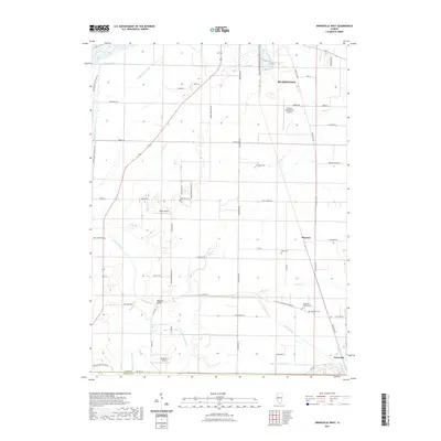
2021 Map of Arenzville West
USGS Topo · Published 2021About this map
The low-lying agricultural plains of the Illinois River valley define this landscape, where complex water management systems such as N Lake Ditch and S Beardstown Ditch protect the fertile bottomlands. These drainage networks are critical to the region's productivity, supporting the rural settlements of Beardstown and Arenzville. The map reveals a pattern of scattered aviation facilities, including Greater Beardstown Airport, Krohe Airport, and Kinsey RLA Airport, reflecting the logistical needs of modern agribusiness.
Find a feature on this map
60 named features on this map. Tap any name to fly to it.
Don’t see what you’re looking for? This feature index may not catch every label — zoom into the map to look around manually.
Map Details
Editions of this 2021 Arenzville West Map
This is the sole edition of this map. No revisions or reprints were ever made.
Other maps of this area

1923 · Rushville
USGS Topo · 1:62,500

1926 · Beardstown
USGS Topo · 1:62,500

1926 · Rushville
USGS Topo · 1:62,500

1928 · Meredosia
USGS Topo · 1:62,500

1929 · Arenzville
USGS Topo · 1:62,500

1931 · Meredosia
USGS Topo · 1:62,500

1932 · Arenzville
USGS Topo · 1:62,500

1944 · Beardstown
USGS Topo · 1:62,500

1948 · Quincy
USGS Topo · 1:250,000

1956 · Quincy
USGS Topo · 1:250,000