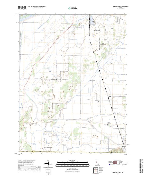
2024 Map of Arenzville West
USGS Topo · Published 2024About this map
Beardstown and its surrounding floodplains define this portion of the Illinois River valley near the southern edge of Cass County. The landscape is heavily marked by water management and drainage infrastructure, including the South Beardstown Ditch and Valley Ditch, which channel water across the flat bottomlands. Small rural hubs like Hagener and the outskirts of Arenzville anchor the region, connected by a network of local roads such as Arenzville Rd and Waggoner Bridge Rd.
Find a feature on this map
58 named features on this map. Tap any name to fly to it.
Don’t see what you’re looking for? This feature index may not catch every label — zoom into the map to look around manually.
Map Details
Editions of this 2024 Arenzville West Map
This is the sole edition of this map. No revisions or reprints were ever made.
Other maps of this area

1923 · Rushville
USGS Topo · 1:62,500

1926 · Beardstown
USGS Topo · 1:62,500

1926 · Rushville
USGS Topo · 1:62,500

1928 · Meredosia
USGS Topo · 1:62,500

1929 · Arenzville
USGS Topo · 1:62,500

1931 · Meredosia
USGS Topo · 1:62,500

1932 · Arenzville
USGS Topo · 1:62,500

1944 · Beardstown
USGS Topo · 1:62,500

1948 · Quincy
USGS Topo · 1:250,000

1956 · Quincy
USGS Topo · 1:250,000