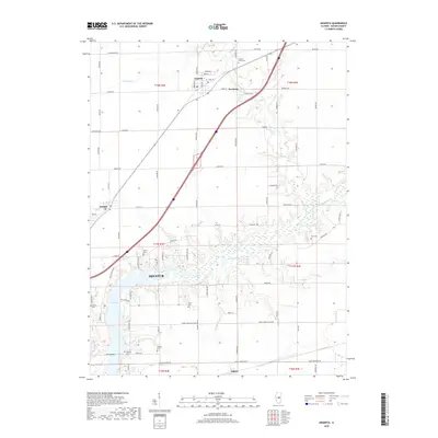
2018 Map of Argenta
USGS Topo · Published 2018About this map
The Sangamon River meanders through the heart of Macon County, feeding into the northern reaches of Lake Decatur near the edge of the Decatur city limits. This Illinois landscape is defined by the grid of rural roads and the convergence of waterways like Kickapoo Cr and Friends Creek. The map documents established village centers at Argenta and Oreana, which serve as anchors for the surrounding agricultural townships. Genealogists will find a high density of rural burial grounds, including the Friends Creek Cem and Peck Cem, scattered across the prairie. The transition from the open fields of Newburg to the more developed fringes of Oakley illustrates the persistent connection between the region's river-bottom lands and its small-town settlements.
Find a feature on this map
85 named features on this map. Tap any name to fly to it.
Don’t see what you’re looking for? This feature index may not catch every label — zoom into the map to look around manually.
Map Details
Editions of this 2018 Argenta Map
This is the sole edition of this map. No revisions or reprints were ever made.
Other maps of this area

1929 · Decatur
USGS Topo · 1:62,500

1933 · Decatur
USGS Topo · 1:62,500

1937 · Monticello
USGS Topo · 1:48,000

1943 · Monticello
USGS Topo · 1:62,500

1955 · Bement
USGS Topo · 1:62,500

1957 · Maroa
USGS Topo · 1:62,500

1958 · Peoria
USGS Topo · 1:250,000

1958 · Decatur
USGS Topo · 1:250,000

1961 · Peoria
USGS Topo · 1:250,000

1961 · Decatur
USGS Topo · 1:250,000