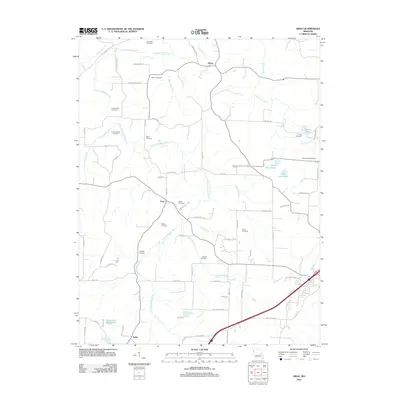
2012 Map of Argo
USGS Topo · Published 2012About this map
The small community of Japan sits at the northern edge of this landscape, where the Little Bourbeuse River and Boone Creek define the drainage of Crawford County. This interior section of Missouri is characterized by a high concentration of family and community burial grounds, including the Old Japan Cemetery, Martin Cemetery, and BooneCreekCemetery. The settlement of Argo serves as a central point for a network of rural routes like Argo Rd and Fann Rd, which connect scattered homesteads and agricultural tracts. Water features such as Nolie Lake South and Holmstrom North Lake provide distinct landmarks among the winding creek branches. Further south, the map traces the area around Delhi, illustrating a transition toward the primary regional corridors. The map provides a clear record of local land use, from the residential clusters at Argo to the various named cemeteries like Garrett Cemetery and Hodges Cemetery that document the region's genealogical history.
Find a feature on this map
75 named features on this map. Tap any name to fly to it.
Don’t see what you’re looking for? This feature index may not catch every label — zoom into the map to look around manually.
Map Details
Editions of this 2012 Argo Map
This is the sole edition of this map. No revisions or reprints were ever made.
Other maps of this area

1903 · Sullivan
USGS Topo · 1:125,000

1935 · Gerald
USGS Topo · 1:48,000

1941 · Gerald
USGS Topo · 1:62,500

1944 · Gerald
USGS Topo · 1:62,500

1946 · Union
USGS Topo · 1:62,500

1947 · Sullivan
USGS Topo · 1:62,500

1948 · Cuba
USGS Topo · 1:24,000

1948 · Leasburg
USGS Topo · 1:24,000

1948 · Argo
USGS Topo · 1:24,000

1948 · Union
USGS Topo · 1:62,500