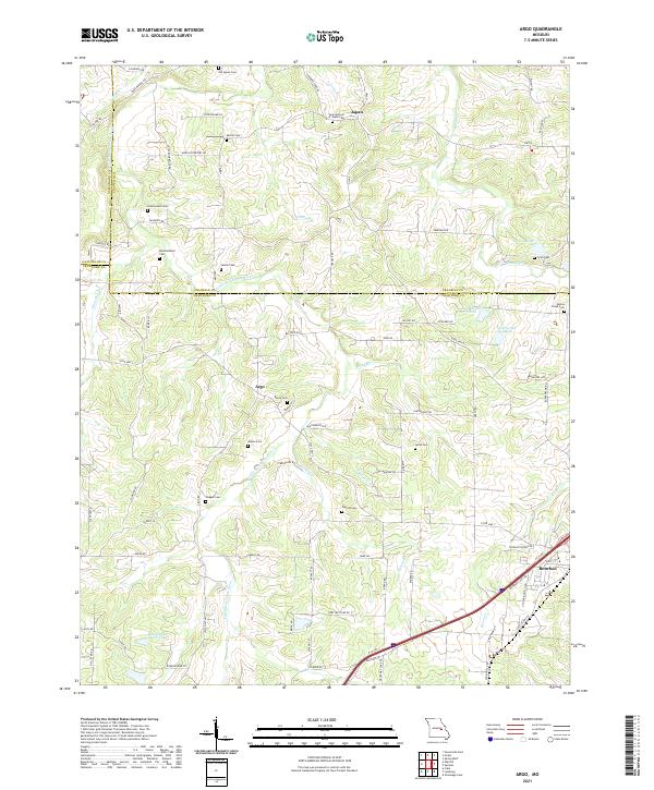
2021 Map of Argo
USGS Topo · Published 2021About this map
The Little Bourbeuse River and its various tributaries, including Opossum Cr and Lyman Cr, define the rural landscape of this region at the intersection of Franklin, Crawford, and Gasconade counties. The settlement of Japan is a central point of interest, anchored by the Holy Martyrs of Japan Cem and Old Japan Cem. Further south, the community of Argo sits near the headwaters of the Little Bourbeuse River, while the town of Bourbon occupies the southeastern corner. This survey is particularly notable for its dense concentration of family and community burial grounds, such as Martin Cem, Rommelmann Cem, and Bacon Cem, which provide a detailed record of local genealogy and land ownership patterns. The terrain is characterized by a network of drainage basins, with Boone Cr flowing through the northeast and the waters of Nolie Lake North and Nolie Lake South situated in the central hills.
Find a feature on this map
88 named features on this map. Tap any name to fly to it.
Don’t see what you’re looking for? This feature index may not catch every label — zoom into the map to look around manually.
Map Details
Editions of this 2021 Argo Map
This is the sole edition of this map. No revisions or reprints were ever made.
Other maps of this area

1903 · Sullivan
USGS Topo · 1:125,000

1935 · Gerald
USGS Topo · 1:48,000

1941 · Gerald
USGS Topo · 1:62,500

1944 · Gerald
USGS Topo · 1:62,500

1946 · Union
USGS Topo · 1:62,500

1947 · Sullivan
USGS Topo · 1:62,500

1948 · Cuba
USGS Topo · 1:24,000

1948 · Leasburg
USGS Topo · 1:24,000

1948 · Argo
USGS Topo · 1:24,000

1948 · Union
USGS Topo · 1:62,500