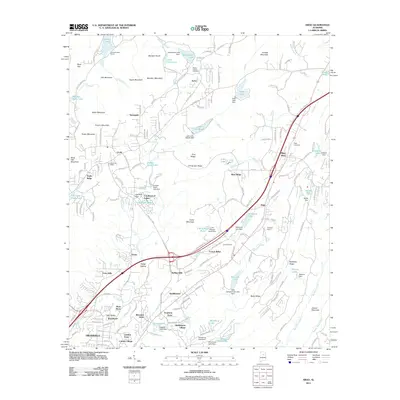
2011 Map of Argo
USGS Topo · Published 2011About this map
The Cahaba River winds through this landscape northeast of Trussville, defining a region where residential development meets the steep ridges of the Appalachians. The 2011 topography shows a distinct pattern of suburban growth in areas like Clay, Vanns, and Misty Pines, contrasted against the high elevations of Cahaba Mountain and Meridian Mountain. Local history is anchored by sites such as Mount Calvary Cemetery and the Clay Post Office, while the inclusion of the Emerald Valley Resort and numerous private impoundments like Quickhaven Lake reflect the area's transition into a recreational and residential corridor. The map captures the infrastructure of this modern era, tracing the rail lines and major thoroughfares that connect Argo to the larger Birmingham metropolitan periphery.
Find a feature on this map
190 named features on this map. Tap any name to fly to it.
Don’t see what you’re looking for? This feature index may not catch every label — zoom into the map to look around manually.
Map Details
Editions of this 2011 Argo Map
This is the sole edition of this map. No revisions or reprints were ever made.
Other maps of this area

1889 · Springville
USGS Topo · 1:125,000

1889 · Birmingham
USGS Topo · 1:125,000

1892 · Birmingham
USGS Topo · 1:125,000

1892 · Springville
USGS Topo · 1:125,000

1895 · Birmingham
USGS Topo · 1:125,000

1905 · Leeds
USGS Topo · 1:62,500

1907 · Birmingham
USGS Topo · 1:125,000

1907 · Leeds
USGS Topo · 1:62,500

1953 · Birmingham
USGS Topo · 1:250,000

1956 · Birmingham
USGS Topo · 1:250,000