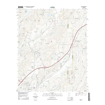
2014 Map of Argo
USGS Topo · Published 2014About this map
The Cahaba River and its upper tributaries carve through the ridge-and-valley landscape of the Jefferson and St. Clair county line. This era of settlement is defined by residential expansion around Trussville and Argo, where neighborhood developments are shown rising against the natural backdrop of Red Mtn and Pine Ridge. The map documents numerous smaller communities and crossings such as Sunnyside, Happy Hollow, and Vanns, reflecting the transition of this area from rural hillsides to suburban outskirts.
Find a feature on this map
180 named features on this map. Tap any name to fly to it.
Don’t see what you’re looking for? This feature index may not catch every label — zoom into the map to look around manually.
Map Details
Editions of this 2014 Argo Map
This is the sole edition of this map. No revisions or reprints were ever made.
Other maps of this area

1889 · Springville
USGS Topo · 1:125,000

1889 · Birmingham
USGS Topo · 1:125,000

1892 · Birmingham
USGS Topo · 1:125,000

1892 · Springville
USGS Topo · 1:125,000

1895 · Birmingham
USGS Topo · 1:125,000

1905 · Leeds
USGS Topo · 1:62,500

1907 · Birmingham
USGS Topo · 1:125,000

1907 · Leeds
USGS Topo · 1:62,500

1953 · Birmingham
USGS Topo · 1:250,000

1956 · Birmingham
USGS Topo · 1:250,000