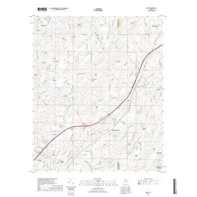
2018 Map of Argo
USGS Topo · Published 2018About this map
Cahaba River and its tributary, Little Cahaba Cr, anchor this landscape on the Jefferson and St. Clair County line. The terrain is defined by parallel ridges like Meridian Mtn and Cahaba Mtn, which separate the developing valley communities of Trussville and Pinson. In the central portion of the map, Clayton Cove and Ayres sit nestled against the slopes of Meridian Knob, reflecting the area's rural-residential character.
Find a feature on this map
186 named features on this map. Tap any name to fly to it.
Don’t see what you’re looking for? This feature index may not catch every label — zoom into the map to look around manually.
Map Details
Editions of this 2018 Argo Map
This is the sole edition of this map. No revisions or reprints were ever made.
Other maps of this area

1889 · Springville
USGS Topo · 1:125,000

1889 · Birmingham
USGS Topo · 1:125,000

1892 · Birmingham
USGS Topo · 1:125,000

1892 · Springville
USGS Topo · 1:125,000

1895 · Birmingham
USGS Topo · 1:125,000

1905 · Leeds
USGS Topo · 1:62,500

1907 · Birmingham
USGS Topo · 1:125,000

1907 · Leeds
USGS Topo · 1:62,500

1953 · Birmingham
USGS Topo · 1:250,000

1956 · Birmingham
USGS Topo · 1:250,000