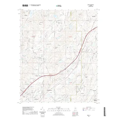
2020 Map of Argo
USGS Topo · Published 2020About this map
Trussville and the surrounding ridgelines of the Appalachian foothills appear here in a period of significant suburban growth. The landscape is defined by the northeast-to-southwest orientation of the Birmingham district’s topography, featuring landmarks such as Blackjack Ridge, Chinquapin Ridge, and Sand Ridge. The Cahaba River and its headwaters, including Mill Cr and Little Cahaba Cr, wind through the valleys, providing a drainage network that influenced the early settlement patterns of communities like Clay and Argo.
Find a feature on this map
215 named features on this map. Tap any name to fly to it.
Don’t see what you’re looking for? This feature index may not catch every label — zoom into the map to look around manually.
Map Details
Editions of this 2020 Argo Map
This is the sole edition of this map. No revisions or reprints were ever made.
Other maps of this area

1889 · Springville
USGS Topo · 1:125,000

1889 · Birmingham
USGS Topo · 1:125,000

1892 · Birmingham
USGS Topo · 1:125,000

1892 · Springville
USGS Topo · 1:125,000

1895 · Birmingham
USGS Topo · 1:125,000

1905 · Leeds
USGS Topo · 1:62,500

1907 · Birmingham
USGS Topo · 1:125,000

1907 · Leeds
USGS Topo · 1:62,500

1953 · Birmingham
USGS Topo · 1:250,000

1956 · Birmingham
USGS Topo · 1:250,000