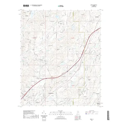
1975 Map of Argo
USGS Topo · Published 1977About this map
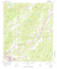
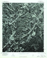
Argo and its surrounding terrain are captured in this mid-1970s orthophotoquad, which emphasizes the physical geography of St. Clair County before subsequent decades of suburban expansion. The imagery, produced by the Soil Conservation Service and the Geological Survey, provides a stark visual record of the ridges and valleys that define this part of the Alabama landscape. Unlike standard topographic maps, this photo-based document reveals the precise patterns of forest cover, cleared pasture, and the winding paths of rural roads as they existed during the winter of 1975. The settlement at Argo serves as the primary focal point, showing the concentrated development along the central transportation corridor contrasted against the deeply textured, wooded slopes of the Appalachian foothills.
Find a feature on this map
1 named feature on this map. Tap any name to fly to it.
Don’t see what you’re looking for? This feature index may not catch every label — zoom into the map to look around manually.
Map Details
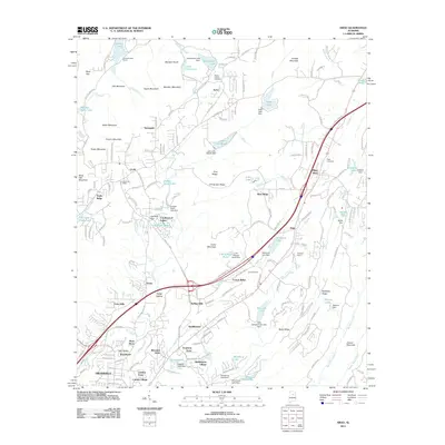
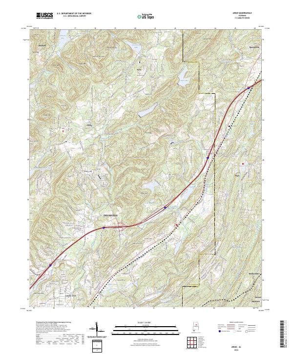
Editions of this 1975 Argo Map
This is the sole edition of this map. No revisions or reprints were ever made.
Historical Maps of Trussville Through Time
7 maps found