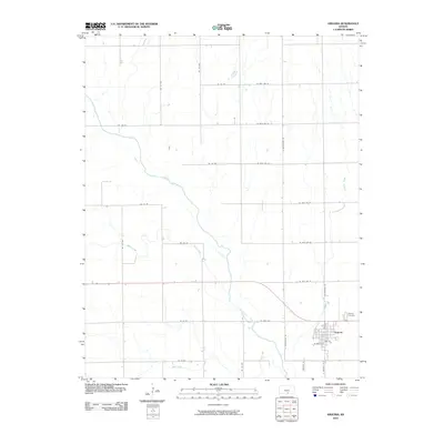
2010 Map of Argonia
USGS Topo · Published 2010About this map
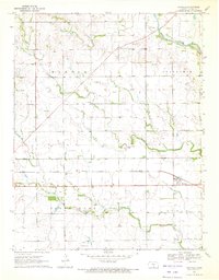
Argonia serves as the primary hub of this southern Kansas landscape, situated where the Chikaskia River winds through the southeastern portion of the quadrangle. The town's grid is clearly defined by streets such as W Maple St and Oak St, while the nearby Argonia Cemetery provides a focal point for local genealogical interest. The surrounding rural areas are dominated by a systematic grid of county roads, including NE 140 Rd and S Argonia Rd, which organize the agricultural terrain. Waterways like Spring Creek, Argonia Creek, and Sand Creek cut through the sections, illustrating the natural drainage patterns that have influenced farm placement and land use since the region's early settlement. The map reflects a stable, modern rural economy where transportation routes like N Blackstone Rd maintain the connection between isolated farmsteads and the central township.
Find a feature on this map
31 named features on this map. Tap any name to fly to it.
Don’t see what you’re looking for? This feature index may not catch every label — zoom into the map to look around manually.
Map Details
Editions of this 2010 Argonia Map
This is the sole edition of this map. No revisions or reprints were ever made.
Other maps of this area

1889 · Caldwell
USGS Topo · 1:125,000

1893 · Caldwell
USGS Topo · 1:125,000

1897 · Caldwell
USGS Topo · 1:125,000

1955 · Wichita
USGS Topo · 1:250,000

1958 · Wichita
USGS Topo · 1:250,000
1971 · Norwich
USGS Topo · 1:24,000

1971 · Caldwell NW
USGS Topo · 1:24,000
1971 · Adams
USGS Topo · 1:24,000
1971 · Argonia
USGS Topo · 1:24,000
1971 · Danville
USGS Topo · 1:24,000