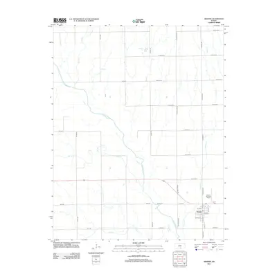
2012 Map of Argonia
USGS Topo · Published 2012About this map
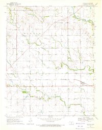
Argonia serves as the primary hub in this Sumner County landscape, situated where the Chikaskia River meanders through the prairie. The town layout is defined by streets such as W Cherry, Garfield St, and W Maple St, anchored by the local Po and the Argonia Municipal Airport to the east. The surrounding countryside is a geometric grid of county roads, including N Black Stone Rd and N Argonia Rd, which cross various tributaries like Sandy Cr and Spring Cr. To the north, Paradise Lake stands out as a significant water feature, while the Argonia Cem provides a point of interest for genealogical researchers looking into the community's established history. The drainage patterns of Sand Cr and Argonia Cr highlight the reliance of this agricultural region on its waterway network.
Find a feature on this map
38 named features on this map. Tap any name to fly to it.
Don’t see what you’re looking for? This feature index may not catch every label — zoom into the map to look around manually.
Map Details
Editions of this 2012 Argonia Map
This is the sole edition of this map. No revisions or reprints were ever made.
Other maps of this area

1889 · Caldwell
USGS Topo · 1:125,000

1893 · Caldwell
USGS Topo · 1:125,000

1897 · Caldwell
USGS Topo · 1:125,000

1955 · Wichita
USGS Topo · 1:250,000

1958 · Wichita
USGS Topo · 1:250,000
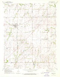
1971 · Norwich
USGS Topo · 1:24,000

1971 · Caldwell NW
USGS Topo · 1:24,000
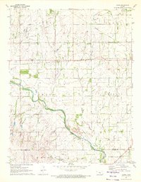
1971 · Adams
USGS Topo · 1:24,000
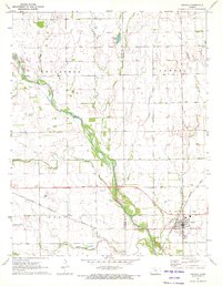
1971 · Argonia
USGS Topo · 1:24,000
1971 · Danville
USGS Topo · 1:24,000