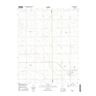
2015 Map of Argonia
USGS Topo · Published 2015About this map
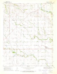
Argonia occupies the southeastern corner of this Kansas landscape, situated near the confluence of Argonia Cr and Sand Cr. The town's layout follows a traditional grid east of the Argonia Municipal Airport, with the Argonia Cem serving as a primary landmark on the northeastern edge of the settlement. The surrounding terrain is defined by a dense network of sectional roads and the meandering paths of several waterways, including Spring Cr and Sandy Cr in the west.
Find a feature on this map
30 named features on this map. Tap any name to fly to it.
Don’t see what you’re looking for? This feature index may not catch every label — zoom into the map to look around manually.
Map Details
Editions of this 2015 Argonia Map
This is the sole edition of this map. No revisions or reprints were ever made.
Other maps of this area

1889 · Caldwell
USGS Topo · 1:125,000

1893 · Caldwell
USGS Topo · 1:125,000

1897 · Caldwell
USGS Topo · 1:125,000

1955 · Wichita
USGS Topo · 1:250,000

1958 · Wichita
USGS Topo · 1:250,000
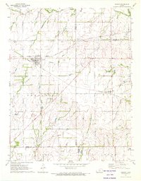
1971 · Norwich
USGS Topo · 1:24,000

1971 · Caldwell NW
USGS Topo · 1:24,000
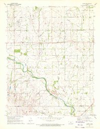
1971 · Adams
USGS Topo · 1:24,000
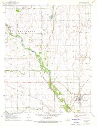
1971 · Argonia
USGS Topo · 1:24,000
1971 · Danville
USGS Topo · 1:24,000