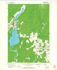
1965 Map of Argonne
USGS Topo · Published 1966About this map
Nicolet National Forest dominates this mid-1960s landscape, where the industry of the Wisconsin Northwoods meets a complex hydrology of glacial lakes and river branches. The settlement of Hiles is established at the southern tip of Hiles Millpond, near the Old Railroad Grade and Hiles Cem. Further east, the town of Argonne serves as a local hub near the Soo Line tracks, with St Marys Cem and Argonne Cem marking the community’s history. The drainage pattern is particularly intricate here, as the West Branch, Middle Branch, and North Branch Peshtigo River converge near Wisconsin Junction. Large-scale features like Island Swamp and Pine Lake illustrate the transition from timbered uplands to the marshy lowlands that define Forest County's geography during this era.
Find a feature on this map
29 named features on this map. Tap any name to fly to it.
Don’t see what you’re looking for? This feature index may not catch every label — zoom into the map to look around manually.
Map Details
Editions of this 1965 Argonne Map
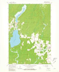
2 editions found
Other maps of this area

1928 · Three Lakes
USGS Topo · 1:48,000

1938 · Alvin
USGS Topo · 1:48,000

1938 · Three Lakes
USGS Topo · 1:48,000

1939 · Crandon
USGS Topo · 1:48,000

1940 · Monico
USGS Topo · 1:48,000

1941 · Crandon
USGS Topo · 1:48,000

1945 · Three Lakes
USGS Topo · 1:48,000

1946 · Alvin
USGS Topo · 1:48,000

1947 · Crandon
USGS Topo · 1:48,000

1950 · Monico
USGS Topo · 1:48,000