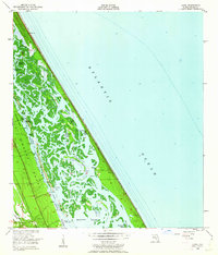
1950 Map of Ariel
USGS Topo · Published 1962About this map
Mosquito Lagoon dominates this coastal landscape, separating the mainland from the narrow barrier beach that faces the Atlantic Ocean. The map reveals a complex network of marshes, creeks, and islands, including Shipyard Island and Bottle Island, which define the hydrography of the mid-century Florida coast. Large historical land tracts like the Jane Murray Grant and Joseph Wales Grant are clearly delineated, showing the legacy of colonial-era property boundaries that persisted into the 1950s. Small coastal outposts such as Ariel, Eldora, and Packwood Place represent the sparse settlement patterns of the era, connected by the Florida East Coast Railway which skirts the western edge of the lagoon. Notable landmarks like Turtle Mound and the Oak Hill Dock provide key navigational and archaeological reference points within this intricate aquatic environment.
Find a feature on this map
34 named features on this map. Tap any name to fly to it.
Don’t see what you’re looking for? This feature index may not catch every label — zoom into the map to look around manually.
Map Details
Editions of this 1950 Ariel Map
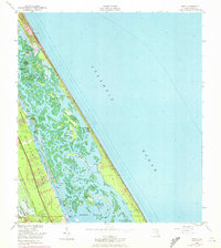
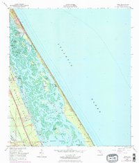
4 editions found
Other maps of this area

1937 · Port Orange
USGS Topo · 1:48,000

1943 · Port Orange
USGS Topo · 1:62,500

1944 · Port Orange
USGS Topo · 1:62,500

1949 · Oak Hill
USGS Topo · 1:24,000

1949 · Pardon Island
USGS Topo · 1:24,000

1950 · Maytown
USGS Topo · 1:24,000

1950 · Ariel
USGS Topo · 1:24,000

1950 · Edgewater
USGS Topo · 1:24,000
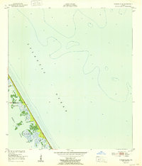
1952 · Pardon Island
USGS Topo · 1:24,000

1954 · Daytona Beach
USGS Topo · 1:250,000