
1928 Map of Ariel
USGS Topo · Published 1953About this map
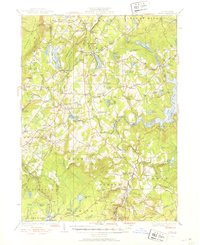
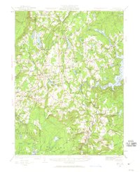
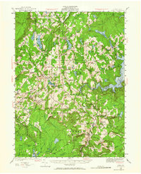
The Moosic Mountains and the northern reaches of the Pocono Mts define the topography of this late 1920s survey. This era captures the region as the waters of Lake Wallenpaupack were reshaping the landscape of Palmyra and Paupack townships. The local economy and social life are anchored by numerous small settlements and family-named landmarks, such as Haags Mill and Wallenpaupack Mills.
Find a feature on this map
131 named features on this map. Tap any name to fly to it.
Don’t see what you’re looking for? This feature index may not catch every label — zoom into the map to look around manually.
Map Details
Editions of this 1928 Ariel Map
4 editions found
Other maps of this area

1889 · Scranton
USGS Topo · 1:62,500

1891 · Scranton
USGS Topo · 1:62,500

1892 · Honesdale
USGS Topo · 1:62,500

1892 · Dundaff
USGS Topo · 1:62,500

1893 · Scranton
USGS Topo · 1:62,500

1919 · Pocono
USGS Topo · 1:62,500

1920 · Damascus
USGS Topo · 1:62,500

1921 · Pocono
USGS Topo · 1:62,500

1922 · Stoddartsville
USGS Topo · 1:62,500

1923 · Damascus
USGS Topo · 1:62,500
Featured Places
- Cherry Ridge Township, PA
- South Canaan Township, PA
- Sterling Township, PA
- Clifton Township, PA
- Lake Township, PA