
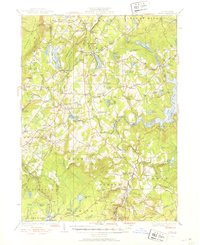
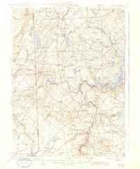
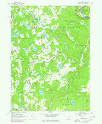
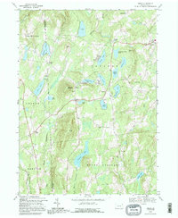
1928 Map of Ariel
USGS Topo · Published 1953This historical map portrays the area of Ariel in 1928, primarily covering Wayne County as well as portions of Lackawanna County and Pike County. Featuring a scale of 1:62500, this map provides a highly detailed snapshot of the terrain, roads, buildings, counties, and historical landmarks in the Ariel region at the time. Published in 1953, it is one of 4 known editions of this map due to revisions or reprints.
Find a feature on this map
131 named features on this map. Tap any name to fly to it.
Don’t see what you’re looking for? This feature index may not catch every label — zoom into the map to look around manually.
Map Details
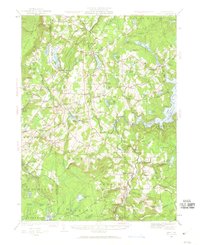
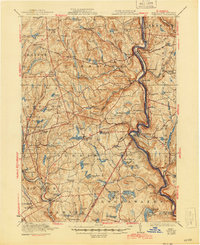
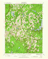
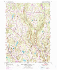
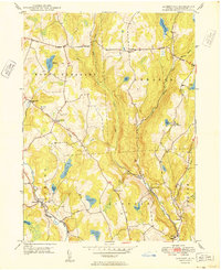
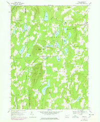
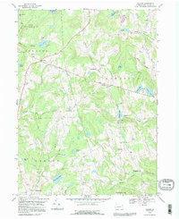
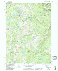
Editions of this 1928 Ariel Map
4 editions found
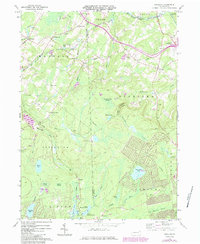
Historical Maps of East Sterling Through Time
23 maps found

1920 Damascus
Wayne County, PA
1923 Damascus
Wayne County, PA
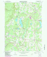
1928 Ariel
Wayne County, PA
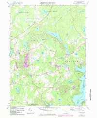
1932 Ariel
Wayne County, PA

1944 Damascus
Wayne County, PA
1946 Aldenville
Wayne County, PA
1949 Aldenville
Wayne County, PA
1965 Sterling
Wayne County, PA
1966 Lake Ariel
Wayne County, PA
1966 Lakeville
Wayne County, PA
1967 Galilee
Wayne County, PA
1968 Damascus
Wayne County, PA
1968 Lake Como
Wayne County, PA
1968 Orson
Wayne County, PA
1992 Galilee
Wayne County, PA
1992 Lake Como
Wayne County, PA
1992 Orson
Wayne County, PA

1993 Damascus
Wayne County, PA
1994 Aldenville
Wayne County, PA

1994 Lake Ariel
Wayne County, PA

1994 Lakeville
Wayne County, PA

1994 Sterling
Wayne County, PA

1997 Sterling
Wayne County, PA
Featured Locations
- Clifton Township, PA
- Cherry Ridge Township, PA
- South Canaan Township, PA
- Sterling Township, PA
- Lake Township, PA