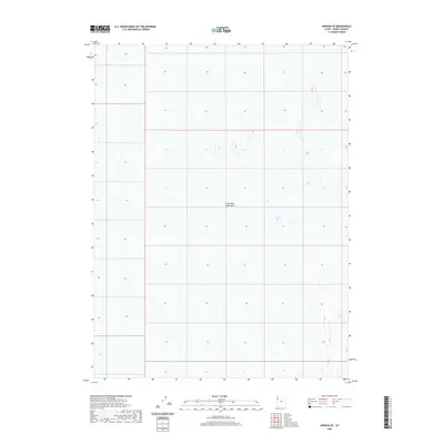
2020 Map of Arinosa SE
USGS Topo · Published 2020About this map
The Great Salt Lake Desert dominates this landscape, revealing the stark and specialized topography of the eastern edge of the Great Basin in Tooele County. This 2020 survey illustrates the complex drainage and elevation patterns of the salt flats, where the lack of human infrastructure highlights the extreme environmental conditions of the region. The map is primarily characterized by subtle topographic contours and alkaline flats, providing a precise record of the land surface as documented by the National Elevation Dataset and National Hydrography Dataset. This specific section of the desert remains a significant corridor for understanding the vast, uninhabited stretches of western Utah and the natural boundaries formed by the ancient lake bed.
Find a feature on this map
1 named feature on this map. Tap any name to fly to it.
Don’t see what you’re looking for? This feature index may not catch every label — zoom into the map to look around manually.
Map Details
Editions of this 2020 Arinosa SE Map
This is the sole edition of this map. No revisions or reprints were ever made.
Other maps of this area

1953 · Tooele
USGS Topo · 1:250,000

1955 · Tooele
USGS Topo · 1:250,000

1973 · Knolls SW
USGS Topo · 1:24,000

1973 · Arinosa
USGS Topo · 1:24,000

1973 · Arinosa SE
USGS Topo · 1:24,000

1973 · Arinosa SW
USGS Topo · 1:24,000

1973 · Arinosa NE
USGS Topo · 1:24,000

1973 · Wildcat Mountain NW
USGS Topo · 1:24,000

1973 · Barro
USGS Topo · 1:24,000

1973 · Gold Hill 1 NE
USGS Topo · 1:24,000