
1973 Map of Arinosa SW
USGS Topo · Published 1977About this map
Wendover Air Force Range dominates this 1973 orthophotomap, revealing the austere and expansive topography of the Great Salt Lake Desert. The landscape is characterized by a nearly featureless expanse of Mud Flat, where the interplay of mineral crusts and moisture creates the varied textures visible in the aerial photography. This specific survey area, part of the larger military testing grounds in Tooele County, illustrates the geographical isolation required for mid-century aerial training and ordnance testing. The orthophotomosaic format provides a rare, direct visual record of the desert floor's surface patterns, which are often generalized on standard topographic line maps. These expansive flats represent a unique geological environment where the drainage of the ancient Lake Bonneville left behind a flat, salt-encrusted plain that has served both military and land-speed record interests.
Find a feature on this map
2 named features on this map. Tap any name to fly to it.
Don’t see what you’re looking for? This feature index may not catch every label — zoom into the map to look around manually.
Map Details
Editions of this 1973 Arinosa SW Map
This is the sole edition of this map. No revisions or reprints were ever made.
Other maps of this area

1953 · Tooele
USGS Topo · 1:250,000

1955 · Tooele
USGS Topo · 1:250,000
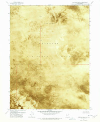
1972 · Elephant Knoll NE
USGS Topo · 1:24,000

1973 · Arinosa
USGS Topo · 1:24,000

1973 · Arinosa SE
USGS Topo · 1:24,000

1973 · Arinosa NE
USGS Topo · 1:24,000

1973 · Salduro SE
USGS Topo · 1:24,000

1973 · Gold Hill 1 NE
USGS Topo · 1:24,000
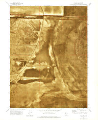
1973 · Salduro
USGS Topo · 1:24,000
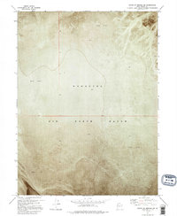
1973 · South of Arinosa SW
USGS Topo · 1:24,000