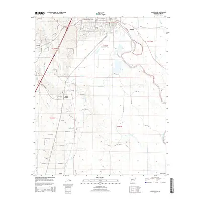
2014 Map of Arkadelphia
USGS Topo · Published 2014About this map
Arkadelphia serves as the focal point of this Clark County survey, positioned at the confluence of several regional waterways and transportation corridors. The city’s core is defined by the Ouachita Baptist Univ campus and a traditional street grid including Main St and Caddo St. Beyond the immediate urban center, the landscape transitions into a network of outlying communities and family-named cemeteries such as Rose Hill Cem, Richwoods Cem, and Curtis Cem. The Ouachita River and Saline Bayou dominate the eastern drainage pattern, while the western and southern reaches are marked by more dispersed settlements like Gum Springs and Midway. This mapping reveals a sophisticated infrastructure of local ridges and winding roads, including Copeland Ridge Rd, which trace the higher ground between the numerous creek systems like Deceiper Cr and Waggie Cr.
Find a feature on this map
101 named features on this map. Tap any name to fly to it.
Don’t see what you’re looking for? This feature index may not catch every label — zoom into the map to look around manually.
Map Details
Editions of this 2014 Arkadelphia Map
This is the sole edition of this map. No revisions or reprints were ever made.
Other maps of this area

1901 · Gurdon
USGS Topo · 1:125,000

1903 · Camden
USGS Topo · 1:125,000

1953 · El Dorado
USGS Topo · 1:250,000

1955 · Little Rock
USGS Topo · 1:250,000

1956 · Little Rock
USGS Topo · 1:250,000

1957 · El Dorado
USGS Topo · 1:250,000

1958 · El Dorado
USGS Topo · 1:250,000

1959 · Caddo Valley
USGS Topo · 1:24,000

1959 · Arkadelphia
USGS Topo · 1:24,000

1960 · El Dorado
USGS Topo · 1:250,000