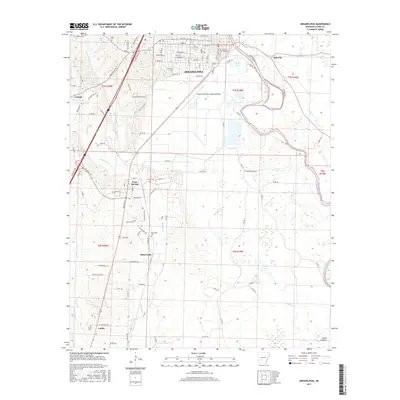
2017 Map of Arkadelphia
USGS Topo · Published 2017About this map
The Ouachita River corridor and its western uplands define this 2017 study of Arkadelphia and its neighboring rural communities. The map detail highlights the city's residential and institutional layout, from Rose Hill Cem in the north to the industrial and agricultural expanses south of town. As the river meanders along the eastern edge, it is joined by the Saline Bayou and Tupelo Cr, creating a complex network of seasonal wetlands and ponds like Nowlin Pond. Moving south through the county, the landscape transitions into more dispersed settlements. Small community centers such as Gum Springs, Richwoods, and Curtis are clearly defined, each anchored by local landmarks like Richwoods Cem and Curtis Cem. This modern survey provides an exact record of the contemporary road network, including McClellan Blvd and Reynolds Rd, cutting through the undulating terrain near the edge of the Ozark Plateau.
Find a feature on this map
109 named features on this map. Tap any name to fly to it.
Don’t see what you’re looking for? This feature index may not catch every label — zoom into the map to look around manually.
Map Details
Editions of this 2017 Arkadelphia Map
This is the sole edition of this map. No revisions or reprints were ever made.
Other maps of this area

1901 · Gurdon
USGS Topo · 1:125,000

1903 · Camden
USGS Topo · 1:125,000

1953 · El Dorado
USGS Topo · 1:250,000

1955 · Little Rock
USGS Topo · 1:250,000

1956 · Little Rock
USGS Topo · 1:250,000

1957 · El Dorado
USGS Topo · 1:250,000

1958 · El Dorado
USGS Topo · 1:250,000

1959 · Caddo Valley
USGS Topo · 1:24,000

1959 · Arkadelphia
USGS Topo · 1:24,000

1960 · El Dorado
USGS Topo · 1:250,000