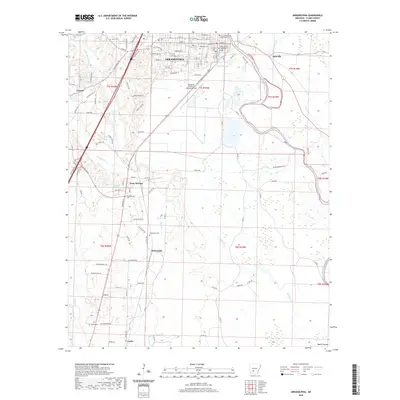
2020 Map of Arkadelphia
USGS Topo · Published 2020About this map
The Ouachita River snakes along the eastern edge of Arkadelphia, defining the geography of this Clark County hub. As the regional center, the town plan includes the Clark County Courthouse and the sprawling campus of Ouachita Baptist University. The landscape transitions from the urban grid of streets like Caddo St and Main St to the surrounding rural reaches of the Ozark Plateau.
Find a feature on this map
93 named features on this map. Tap any name to fly to it.
Don’t see what you’re looking for? This feature index may not catch every label — zoom into the map to look around manually.
Map Details
Editions of this 2020 Arkadelphia Map
This is the sole edition of this map. No revisions or reprints were ever made.
Other maps of this area

1901 · Gurdon
USGS Topo · 1:125,000

1903 · Camden
USGS Topo · 1:125,000

1953 · El Dorado
USGS Topo · 1:250,000

1955 · Little Rock
USGS Topo · 1:250,000

1956 · Little Rock
USGS Topo · 1:250,000

1957 · El Dorado
USGS Topo · 1:250,000

1958 · El Dorado
USGS Topo · 1:250,000

1959 · Caddo Valley
USGS Topo · 1:24,000

1959 · Arkadelphia
USGS Topo · 1:24,000

1960 · El Dorado
USGS Topo · 1:250,000